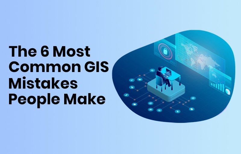
We will discuss the top 6 GIS errors that people make in this post based on my personal observations and experiences. Whether you’re a seasoned GIS expert or you’re just getting started, knowing these traps will help you improve your skills and save you time and stress. Now let’s go straight in and discover the realm of GIS errors as a team.
What Does a GIS Error Mean?
Any variation or disparity between the observed or recorded data and the true or expected values within a spatial dataset or analysis is referred to as an error in the field of Geographic Information Systems (GIS). Errors can occur at many stages of the GIS workflow, from data collection and processing to analysis and interpretation, and they can take many different forms.
Types of GIS Errors
Errors in Data Acquisition
Measurement inaccuracies
These mistakes, which can include inaccurate GPS readings or careless surveying methods, happen when gathering geographical data.
Errors in Sampling:
Sampling errors can arise while gathering data from a subset of a larger population if the sample is not representative of the population as a whole, producing biased findings.
Data Entry Mistakes:
Errors can be introduced into GIS datasets by human data input mistakes such as typos, misinterpretations, or omissions.
Errors in Data Processing:
Georeferencing Mistakes:
Aligning spatial data with a known coordinate system is known as georeferencing. Georeferencing errors may cause features in a map or dataset to be misaligned or displaced.
Digitalization Mistakes
Converting analog or paper maps into digital versions is known as digitizing. The accuracy of spatial data can be distorted by digitization errors such as feature misplacement, underrepresentation, or simplicity.
Interpolation Mistakes:
Values between known data points are estimated using interpolation techniques. Assumptions on the continuity of the data or improper interpolation methods might result in interpolation errors.
Mistakes in Data Analysis:
Statistical Mistakes
Quantifying geographical patterns, correlations, and trends is a key component of statistical analysis in GIS. Inaccurate model assumptions, sample biases, or unsuitable statistical tests are examples of errors in statistical analysis that can produce inaccurate results.
Errors in Modeling
GIS models mimic occurrences or processes found in the actual world. Oversimplification, parameter uncertainty, or a lack of thorough comprehension of the underlying processes can all lead to errors in modeling.
Algorithmic Mistakes:
Algorithms are used by GIS software to carry out different spatial operations and analysis. Incorrect results or outputs might arise from mistakes in the design or implementation of an algorithm.
Typical Errors in GIS
Low-quality data
Any GIS project depends heavily on data, and the quality of that data can have a big impact on the dependability and precision of analysis and decision-making. Sadly, a lot of GIS users undervalue the significance of high-quality data, which can skew their findings and cause biases and inaccuracies.
Inaccurate information, inconsistencies, and inaccuracies are common problems with data quality. GIS users need to have strong data quality assurance procedures in place, such as procedures for data validation, cleansing, and updating, in order to reduce these risks. Users can increase the legitimacy and efficacy of their GIS projects by guaranteeing the accuracy and consistency of their data.
There are a lot of internet repositories for GIS data these days. To guarantee data quality, the majority of the datasets on some of these repositories need to be closely monitored.
Ignoring Projections and Coordinate Systems
Many people are always perplexed by this topic. Although coordinate systems and map projections are fundamental ideas in GIS, users frequently ignore or misunderstand them. In GIS analysis and visualization, using the wrong or mismatched coordinate systems can lead to spatial distortions, misalignments, and errors.
GIS users need to become familiar with various coordinate systems and projections and choose the right ones for their projects in order to avoid making this error. Users may preserve the quality and integrity of their GIS outputs by making sure spatial data is projected and referenced correctly.
Absence of Version Control and Regular Backups
Have you ever gathered data in the outdoors only to find that by nightfall, your gadgets are empty? could possibly possess inaccurate or lacking data? This has happened to several users.
For GIS projects, data loss or corruption can be disastrous, sometimes resulting in expensive rework, delays, or even project collapse. However, a lot of GIS users don’t put in place sufficient version control and backup procedures, leaving their data susceptible to unanticipated events or human mistake.
Users should set up frequent backups and version control systems to protect against data loss and guarantee data integrity. Users may confidently track the progress of their projects and recover lost data by keeping backup copies of their GIS datasets and monitoring changes over time.
Bad Visualization and Map Design
Although maps are effective tools for conveying geographical information, poorly designed and visualized maps can mask rather than highlight key findings. Avoid typical hazards such as cluttered layouts, unsuitable symbology, and deceptive representations while using GIS.
Users should follow the visual hierarchy, simplicity, and clarity of cartographic design principles in order to make maps that are effective.
Users may improve the readability and interpretability of their maps and make sure the audience understands the intended message by using the right colors, symbols, and labeling approaches.
Ignorance of Security and Privacy Issues
In the current era of growing concerns about data security and privacy, GIS users need to secure sensitive data and take precautions against exposure or unauthorized access. Inadequate privacy and security measures may give rise to data breaches, privacy violations, or legal ramifications. GIS users should give data encryption, access controls, and adherence to pertinent privacy legislation first priority in order to allay these worries. Users can safeguard individual privacy rights and foster a sense of trust and confidence in their GIS systems by taking a proactive approach to privacy and security.
Insufficient Instruction and Professional Growth
To fully utilize GIS technology, users need to stay up to date on the latest advancements and industry best practices, which are always changing. Unfortunately, a lot of GIS users don’t have enough opportunities for skill development and training, which results in skill gaps and less-than-ideal usage of GIS tools and procedures.
Organizations should fund professional development opportunities, certifications, and training programs for GIS practitioners in order to meet this problem. Organizations can unlock the full power of GIS and promote innovation and excellence in spatial analysis and decision-making by providing users with the knowledge and abilities they need to succeed.
Conclusion
GIS technology has enormous promise for revealing insights, resolving challenging issues, and helping people make wise decisions across a range of industries. But in order to fully utilize this potential, GIS users need to be aware of typical errors that can nullify their efforts and cause their projects to fail. Through adherence to best practices and ongoing education, GIS users may fully leverage the potential of GIS technology and effect positive change within their communities and businesses.