
SkylanIT provides services related to Survey and Mapping. These services accurately represent the Earth’s surface and different places on it through the collection, analysis, and presentation of spatial data is the goal of these services.
What we do in Mapping?
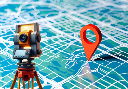
Our team measures and documents an area’s geographical dimensions during surveying. This can involve taking measurements of built structures, bodies of water, and land. Our survey team gathers exact information about the position, form, and dimensions of these features using a variety of instruments and technologies, including GPS, drones, and total stations.
Our Services
What all surveys we conduct?
Land Surveys
In that we calculate geographical characteristics, land elevations, and property boundaries.
Aerial Surveys
In this we get a birds-eye view of the region by using drones to gather data and pictures from the sky/air.
Hydrographic Surveys
We are providing different services in this sector to wide area of world with cleanest line of services.
What we do in Mapping?
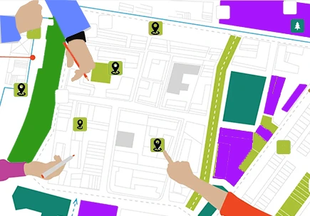
In this we make visual representations of the data collected in survey. These maps can be simple, such as showing property lines, or they can be complicated including several levels of data, including topography, vegetation, and infrastructure.
Important things about our Mapping Services
- Topographic Maps
- Maps with themes
- Digital Maps
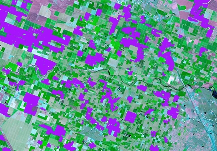
How we use GIS in Survey and Mapping
GIS improves mapping and surveying services by offering data management, analysis, and visualization tools. It allows the stacking of several data kinds, which enables the analysis of geographical patterns and correlations.
Benefits of our survey and mapping services
Benefits of our survey and mapping services
- Accuracy of data Collected
- User Friendly Visualization
- Data Integration
- Help in Decision Making
Where we provide our Surveying & Mapping Services?
Various industries and applications use our surveying and mapping services, like
- Planning for the City
- Making of Buildings
- Management of the Environment
- Transport Sector
survey and mapping services of SkylanIT
Precise measurement and excellent graphic representaion of the different places on Earth’s surface are the main features of survey and mapping services of SkylanIT. These services offer important data for a range of applications, and help businesses and people in making correct choices. Through the use of GIS and modern technology, surveying and mapping provide precise, complete, and adaptable representations of our physical world.


