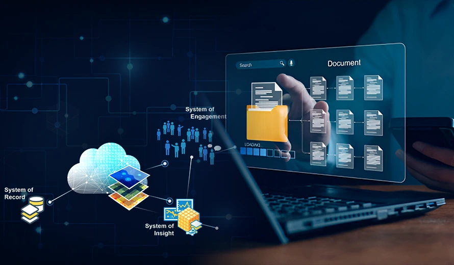
GIS data is spatial and non-spatial data that represents geographic features, like locations, shapes, and features of natural or man-made objects on the earth’s surface. This data can be in the form of maps, satellite images, coordinates, and tables that store information like population statistics of an area, land use, or environmental data.
Data Conversion and Maintenance
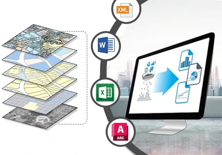
It’s important to convert data and maintain it for various purposes.
- Format Conversion: It involves converting data between different formats (e.g., CAD to GIS) for compatibility.
- Ongoing Maintenance: Regularly update and maintain data to ensure it remains accurate for long term.
- Quality Control: Verify the accuracy and consistency of the data after its conversion.
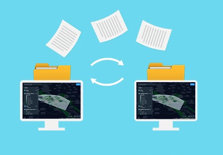
Data Migration
SkylanIT offers data migration of captured/collected GIS data it has these processes:
- System Upgrades: Migrate data from outdated systems to modern GIS platforms.
- Data Preservation: Make sure no loss of data happens during migration.
- Platform Integration: Integrate the migrated data with existing GIS workflows.
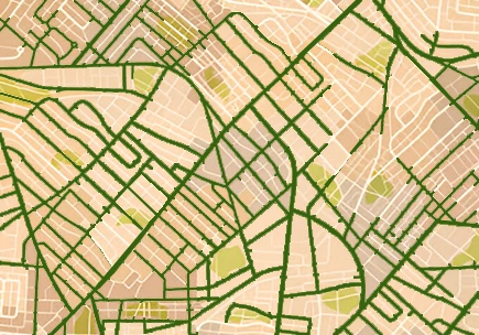
Cartography & Mapping
SkylanIT offers cartography mapping services to clients all over India. These services include map creation, specialized mapping and data representation
- Map Creation: In this we Design and develop maps that visualize geographic data effectively.
- Specialized Mapping: It involves creating thematic maps, like zoning or topographic maps, as per the needs of client.
- Data Representation: Ensure that the geographic data is represented clearly and accurately on maps.
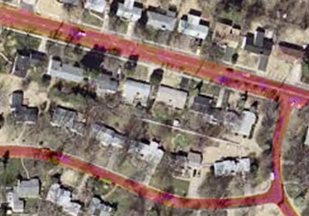
Conflation & Realignment
SkylanIT uses the following steps for conflation & realignment of GIS data
- Data Merging: Datasets from multiple sources are combined, and common features like roads or boundaries are aligned.
- Error Correction: after that errors are Identified and removed from the data during the merging process.
- Dataset Alignment: Finally different datasets are aligned for consistent and reliable use.
Consolidation & Integration
SkylanIT combines data that is available from several places, formats, or sources into a single, complete GIS database while preserving the datasets visual appeal. This special service is commonly used for large-scale public sector data-sharing programs, private data content providers, and several departments within the same organization that use and/or are accountable for maintaining different aspects of the same master dataset. It’s benefits are:
- It lowers the costs of operating
- It increases efficiency and productivity
- It simpler to comply with data protection regulations and standards of any place
- It helps in creation of highly targeted advertisements using improved client data.


