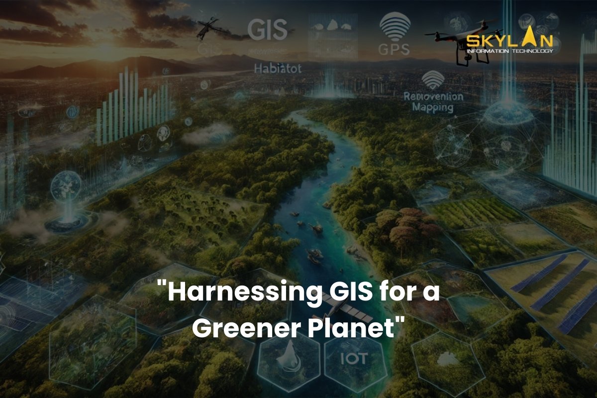
Introduction
Did you know that every minute, there is deforestation or some form of environmental damage happening globally? This increasing rate of environmental damage shows the immediate need for effective conservation measures. As global ecosystems face increasing threats from deforestation, climate change, and pollution, Geographic Information Systems (GIS) have come up as an important tool for environmental conservation. GIS helps researchers, and policymakers, to collect, analyze, and visualize complex data, that helps in making smarter decisions and better resource management. In this blog, we’ll discuss about the role of GIS in environmental conservation, and its key applications, the challenges it faces, and its potential in coming future. Let us understand how this technology is shaping the future of preserving natural ecosystems and promoting sustainability.
The Role of GIS in Environmental Conservation
What is GIS?
Geographic Information Systems (GIS) is a technology that is used to captures, stores, analyzes, and visualizes geographic and spatial data. It is like a digital tool that creates highly detailed maps and models that help in understanding various landscapes of various places on earth and processes occurring on our planet better. By combining various layers of data, GIS provides information about complex relationships between the natural resources, human activities, and environmental changes.
Why environmental conservation needs GIS?
Environmental conservation efforts are often stopped by challenges like incomplete data, difficulties in analyzing large datasets, and the inability to visualize changes over time. GIS solves all these issues by providing a powerful platform to:
- Collect accurate environmental data from multiple sources, including satellite imagery and field surveys.
- Analyze the different trends and patterns occurring in ecosystems.
- Visualize all the changes in land use, wildlife habitats, and water bodies in real-time.
- Along with offering information GIS transforms it into actionable/workable insights, and makes it easier to protect our natural world.
Key Applications of GIS in Environmental Conservation
1. Habitat Mapping and Wildlife Management
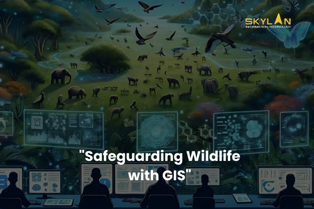
One of the most important applications of GIS in environmental conservation is its use in mapping and monitoring habitats. For example:
- Tracking Wildlife Populations: GIS helps researchers to track the movement of species, monitor their populations, and understand their behaviors. This is important for protecting endangered species in wildlife.
- Designing Protected Areas: GIS data helps in informing the creation of national parks, wildlife reserves, and conservation corridors. By identifying the biodiversity hotspots, GIS makes sure that these protected zones are located where they can have the most impact.
- Restoring Habitats: When habitats are damaged, GIS helps in planning and implementing restoration efforts, so that that resources are allocated efficiently.
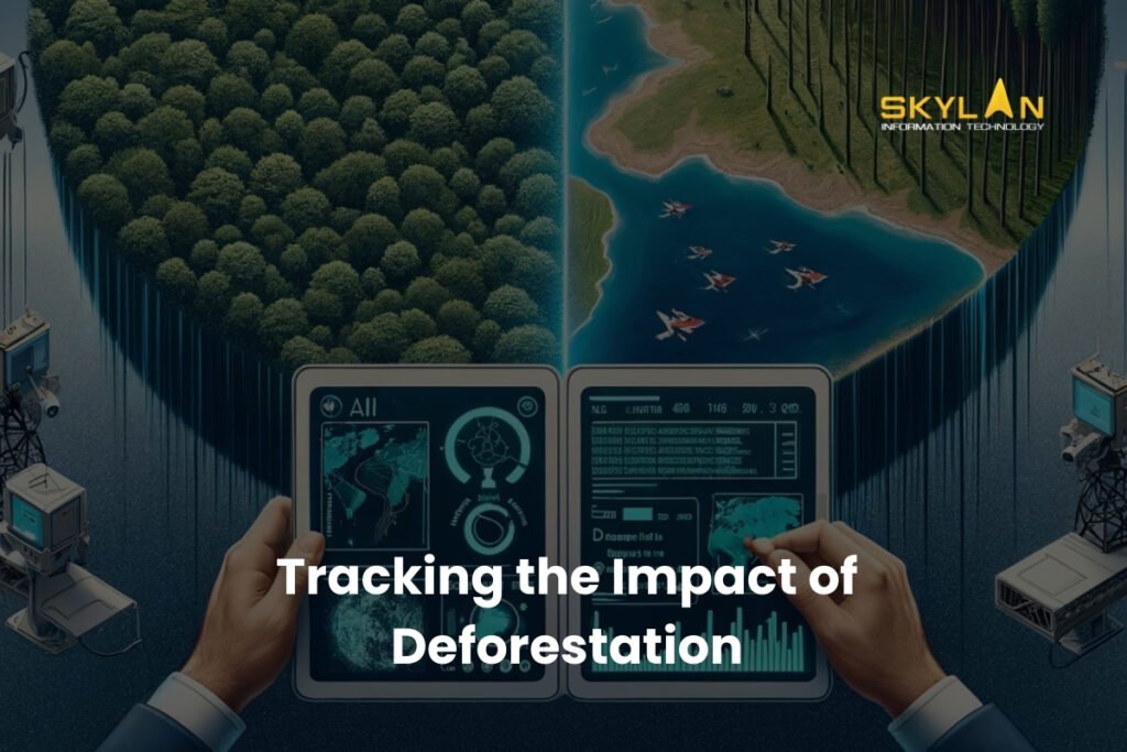
2. Deforestation and Land Use Monitoring
Deforestation is a major reason for climate change and biodiversity loss. GIS helps in solving this issue by:
- Monitoring Deforestation: GIS tools can analyze satellite imagery to find out areas where deforestation is occurring. And that information will help authorities take fast action for stopping illegal cutting of trees.
- Analyzing Land Use Changes: By studying how land is being used for various purposes like agriculture, urban development, or mining, GIS can helps policy and decision makers to make correct decisions to balance development with conservation.
- Planning Reforestation Efforts: GIS helps in in identifying degraded areas that are suitable for reforestation, ensuring that tree-planting done in those areas is both effective and sustainable.
3. Water Resource Management
Water is a very important resource, and its management is essential for both human and ecological health. GIS contributes to water conservation by:
- Monitoring Watersheds: GIS tools help in mapping watersheds and also track changes over time, and help in identifying areas that are at risk of erosion or pollution.
- Protecting Aquatic Ecosystems: By analyzing the condition of lakes, rivers, and wetlands, GIS helps in preservation of aquatic biodiversity & ecosystem.
- Managing Water Distribution: GIS can optimize use of water in agriculture and urban areas, reducing wastage of water and ensuring equal access to all the parties involved.
4. Climate Change Analysis
In present times climate change is one of the major problems that is present globally. And GIS plays a key role in understanding and addressing its impacts by:
- Creating a model of Climate Scenarios: GIS tools can simulate various climate change scenarios, that helps researchers in predicting future conditions and plan accordingly.
- Assessing Vulnerabilities: GIS identifies areas that are most vulnerable to climate change, like coastal areas that are at risk of flooding or areas that are drought-prone.
- Developing Adaptation Strategies: By making use of GIS insights, governments and organizations can create strategies that can adapt to changing environments, such as building strong and robust infrastructure or diversifying crops.
5. Pollution Tracking and Mitigation
Pollution affects air, water, and soil, harming ecosystems and human health. GIS helps mitigate these effects by:
- Tracking Pollution Sources: GIS can pinpoint sources of pollution, such as factories, waste disposal sites, or agricultural runoff.
- Assessing Environmental Impact: By analyzing how pollution spreads and affects nearby ecosystems, GIS provides data to guide cleanup efforts.
- Planning Mitigation Strategies: GIS supports the development of strategies to reduce pollution, such as zoning regulations or green infrastructure projects.
Challenges in Using GIS for Conservation
Even though there are many benefits, using GIS in environmental conservation has its own set of challenges:
- Data Accuracy and Availability
Accurate data is the backbone of GIS, but in remote or underdeveloped regions obtaining reliable information can be difficult. Because of which gaps in data can lead to wrong analyses and ineffective conservation strategies.
- Technical Expertise
GIS tools require skilled and experienced professionals for operating them effectively. Analyzing and interpreting GIS data requires a thorough understanding of both technology and environmental science, which can be a barrier for some organizations.
- Cost and Resources
In some cases, implementing GIS technology can be expensive. As it requires acquiring software and hardware to hiring trained personnel, the financial and logistical requirements are significant, especially for large-scale conservation projects.
The Future of GIS in Environmental Conservation
The future of GIS in conservation of environment looks promising, with several trends and advancements happening in GIS that will only strengthen its capabilities:
1. Technological Advancements
Emerging technologies are making GIS capabilities better & more powerful. Those technologies are:
- AI and Machine Learning: AI and Machine Learning is making it easier to analyze large datasets, identify patterns, and also predict environmental changes.
- Drones: Drones are equipped with cameras and sensors and provide high-resolution imagery for GIS mapping.
- Remote Sensing: With advancement & upgradation of satellites they are now able to deliver more accurate and comprehensive data for environmental monitoring.
2. Collaborative Efforts
GIS is helpful in creating collaboration among governments, NGOs, and local communities. By sharing data and important insights, these groups can work together to address all types of environmental conservation challenges more effectively.
3. Achieving Sustainability Goals
GIS is an extremely powerful tool for achieving various goals of global sustainability. By guiding efforts to protect biodiversity, tackle climate change, and manage natural resources sustainably, GIS is helping to build build a greener future.
ConclusionGIS (Geographic Information Systems) is transforming the way we approach environmental conservation. From mapping wildlife habitats to tracking pollution and analyzing climate change, GIS provides the data based information that is needed to protect our planet. While challenges like data availability, technical expertise, and implementation costs remain, the future of GIS looks bright, because of the technological advancements and collaborative efforts. As individuals, we can also play a role in conservation of our environment by supporting initiatives that use GIS to protect our natural resources. To summarise, we can use the power of technology to ensure a healthier, more sustainable planet for future generations to come.