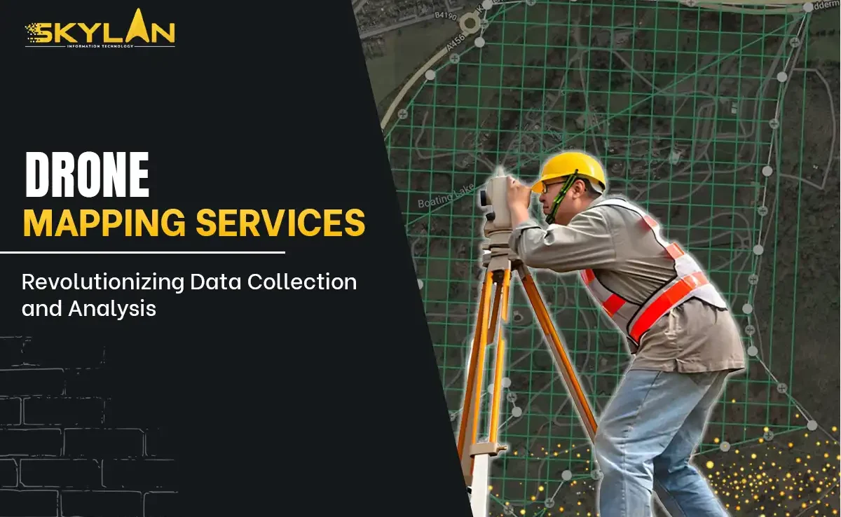
The Future of Utility Mapping with AI & GIS
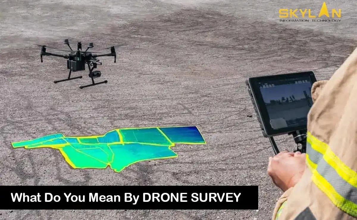
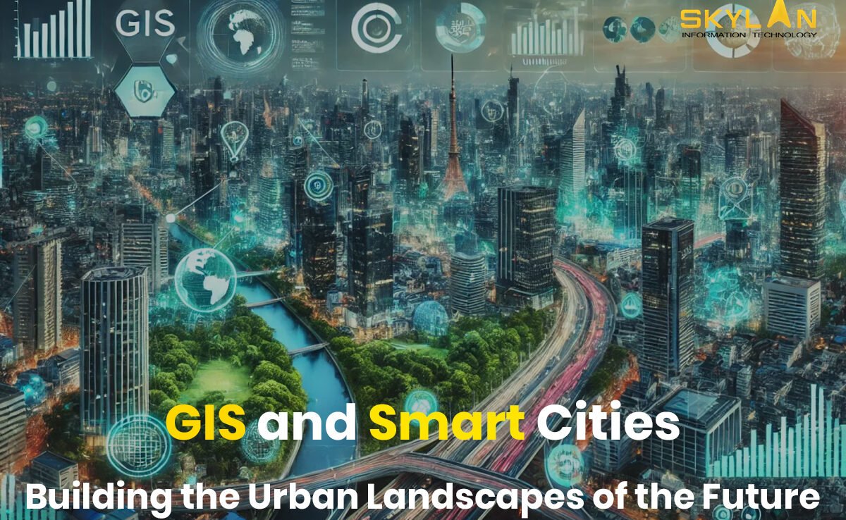
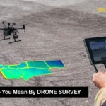
In an age where technology is transforming how we live, work, and interact with the world, few sectors benefit more than city infrastructure. One of the most crucial elements in modernizing infrastructure is utility mapping, and thanks to the integration of Artificial Intelligence (AI) and Geographic Information Systems (GIS), we’re entering a new era. These technologies aren’t just buzzwords they’re revolutionizing how communities are built and maintained. What Is Utility Mapping and Why Does It Matter to You Utility mapping is the process of locating and documenting critical public infrastructure think water pipes, power lines, gas conduits, sewage lines, and communication networks. Traditionally, this work relied on outdated blueprints or manual surveys. Inaccurate records led to hazardous errors digging blindly near a gas line or misplacing electrical wiring can lead to major setbacks or even dangerous incidents. Picture a construction crew starting excavation for a new school. If they don’t know a gas pipeline runs below the site, a costly or dangerous accident is just one misstep away. Utility mapping ensures that everything from simple maintenance to large-scale projects can proceed safely and efficiently. How GIS Transforms Utility Mapping GIS, or Geographic Information Systems, is essentially smart mapping. It doesn’t just store visual location data it layers it with intelligence. Think of GIS as a live dashboard where utility lines, street layouts, and maintenance records intersect in a visual format. A technician using GIS can pinpoint a faulty water line, determine its age, and access its repair history in real-time. With cloud integration, this data is shareable across departments, from city planners to emergency responders. GIS also supports community collaboration. Utility companies, local governments, engineers, and even citizens can access a central data hub, eliminating silos and boosting transparency. The Role of AI: Supercharging Smart Mapping Now add AI to the mix. Artificial Intelligence brings serious computing power to analyze patterns and predict outcomes capabilities no human can match at scale. Here’s how AI enhances utility mapping: These features eliminate guesswork and reduce costs while improving accuracy and worker safety. Real-Life Impact: How Smart Tech Prevented a City Blackout Let’s take an example from a metro city where blackouts were becoming frequent. Instead of inspecting hundreds of kilometers of power lines, the local utility company used AI to crunch historical data weather patterns, power usage spikes, and equipment failures. GIS visualized this data across the city map. The result? Technicians could identify high-risk zones and repair vulnerable points before they failed. The city saw a 60% drop in outages over six months. How AI & GIS Benefit Communities Every Day What’s Holding Back Widespread Adoption? No technology is without challenges. Implementing AI and GIS tools requires: That said, affordable cloud-based GIS systems and open-source AI platforms are reducing these barriers. A Look Ahead: Smart Cities Built on Data AI and GIS are the foundation of smart city planning. From smarter grid management to predictive water monitoring, the duo creates a shared ecosystem where decisions are based on live data. This shared insight allows municipalities, engineers, contractors, and citizens to make informed choices. As more cities embrace this tech, we’ll see improved budget planning, quicker disaster response, and better long-term infrastructure resilience. It’s Not Just About Data It’s About People At its heart, utility mapping powered by AI and GIS is about people. It’s about ensuring that a mother cooking dinner doesn’t lose access to gas because of a repair error. It’s about helping emergency teams save time and lives—by reaching the right spot quickly. It’s about reducing costs so city budgets can invest in schools, parks, and healthcare instead of repair bills. For workers in the field, smart mapping reduces physical labor and boosts safety. For planners and policymakers, it delivers the insight needed to future-proof our cities. The Big Picture: Where We’re Headed Imagine a city where every pipe, cable, and connection is not just mapped, but intelligently monitored and optimized. That future is already unfolding in places like Singapore, Amsterdam, and San Diego. These cities are leading the way with digital twins 3D virtual replicas of infrastructure, constantly updated through AI and GIS. As more Indian cities adopt similar systems, it opens the door to: Final Thoughts: Human-Driven Innovation Technology should empower, not replace. As AI and GIS become part of the backbone of utility mapping, it’s essential to center the people who make cities function technicians, planners, and citizens. By investing in skills training, community education, and accessible tools, we ensure that the benefits of this digital revolution are shared by all. Smart cities aren’t built by machines they’re built by people, guided by technology. The next time your light switches on, your tap flows clean, or your internet runs without a glitch, thank a utility worker. Behind them stand AI and GIS, quietly keeping your city running. The future of utility mapping is bright, efficient, and deeply human.