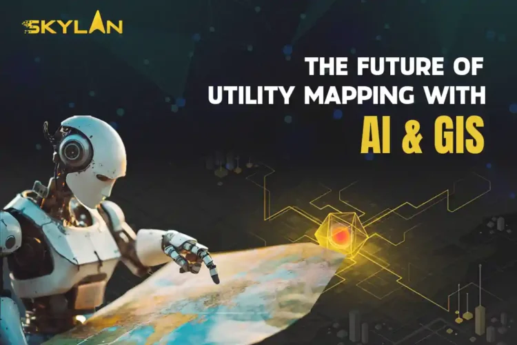
The Future of Utility Mapping with AI & GIS
In an age where technology is transforming how we live, work, and interact with the world, few sectors benefit more than city infrastructure. One of the most crucial elements in…
In an age where technology is transforming how we live, work, and interact with the world, few sectors benefit more than city infrastructure. One of the most crucial elements in modernizing infrastructure is utility mapping, and thanks to the integration of Artificial Intelligence (AI) and Geographic Information Systems (GIS), we’re entering a new era. These technologies aren’t just buzzwords they’re revolutionizing how communities are built and maintained. What Is Utility Mapping and Why Does It Matter to You Utility mapping is the process of locating and documenting critical public infrastructure think water pipes, power lines, gas conduits, sewage lines, and communication networks. Traditionally, this work relied on outdated blueprints or manual surveys. Inaccurate records led to hazardous errors digging blindly near a gas line or misplacing electrical wiring can lead to major setbacks or even dangerous incidents. Picture a construction crew starting excavation for a new school. If they don’t know a gas pipeline runs below the site, a costly or dangerous accident is just one misstep away. Utility mapping ensures that everything from simple maintenance to large-scale projects can proceed safely and efficiently. How GIS Transforms Utility Mapping GIS, or Geographic Information Systems, is essentially smart mapping. It doesn’t just store visual location data it layers it with intelligence. Think of GIS as a live dashboard where utility lines, street layouts, and maintenance records intersect in a visual format. A technician using GIS can pinpoint a faulty water line, determine its age, and access its repair history in real-time. With cloud integration, this data is shareable across departments, from city planners to emergency responders. GIS also supports community collaboration. Utility companies, local governments, engineers, and even citizens can access a central data hub, eliminating silos and boosting transparency. The Role of AI: Supercharging Smart Mapping Now add AI to the mix. Artificial Intelligence brings serious computing power to analyze patterns and predict outcomes capabilities no human can match at scale. Here’s how AI enhances utility mapping: These features eliminate guesswork and reduce costs while improving accuracy and worker safety. Real-Life Impact: How Smart Tech Prevented a City Blackout Let’s take an example from a metro city where blackouts were becoming frequent. Instead of inspecting hundreds of kilometers of power lines, the local utility company used AI to crunch historical data weather patterns, power usage spikes, and equipment failures. GIS visualized this data across the city map. The result? Technicians could identify high-risk zones and repair vulnerable points before they failed. The city saw a 60% drop in outages over six months. How AI & GIS Benefit Communities Every Day What’s Holding Back Widespread Adoption? No technology is without challenges. Implementing AI and GIS tools requires: That said, affordable cloud-based GIS systems and open-source AI platforms are reducing these barriers. A Look Ahead: Smart Cities Built on Data AI and GIS are the foundation of smart city planning. From smarter grid management to predictive water monitoring, the duo creates a shared ecosystem where decisions are based on live data. This shared insight allows municipalities, engineers, contractors, and citizens to make informed choices. As more cities embrace this tech, we’ll see improved budget planning, quicker disaster response, and better long-term infrastructure resilience. It’s Not Just About Data It’s About People At its heart, utility mapping powered by AI and GIS is about people. It’s about ensuring that a mother cooking dinner doesn’t lose access to gas because of a repair error. It’s about helping emergency teams save time and lives—by reaching the right spot quickly. It’s about reducing costs so city budgets can invest in schools, parks, and healthcare instead of repair bills. For workers in the field, smart mapping reduces physical labor and boosts safety. For planners and policymakers, it delivers the insight needed to future-proof our cities. The Big Picture: Where We’re Headed Imagine a city where every pipe, cable, and connection is not just mapped, but intelligently monitored and optimized. That future is already unfolding in places like Singapore, Amsterdam, and San Diego. These cities are leading the way with digital twins 3D virtual replicas of infrastructure, constantly updated through AI and GIS. As more Indian cities adopt similar systems, it opens the door to: Final Thoughts: Human-Driven Innovation Technology should empower, not replace. As AI and GIS become part of the backbone of utility mapping, it’s essential to center the people who make cities function technicians, planners, and citizens. By investing in skills training, community education, and accessible tools, we ensure that the benefits of this digital revolution are shared by all. Smart cities aren’t built by machines they’re built by people, guided by technology. The next time your light switches on, your tap flows clean, or your internet runs without a glitch, thank a utility worker. Behind them stand AI and GIS, quietly keeping your city running. The future of utility mapping is bright, efficient, and deeply human.
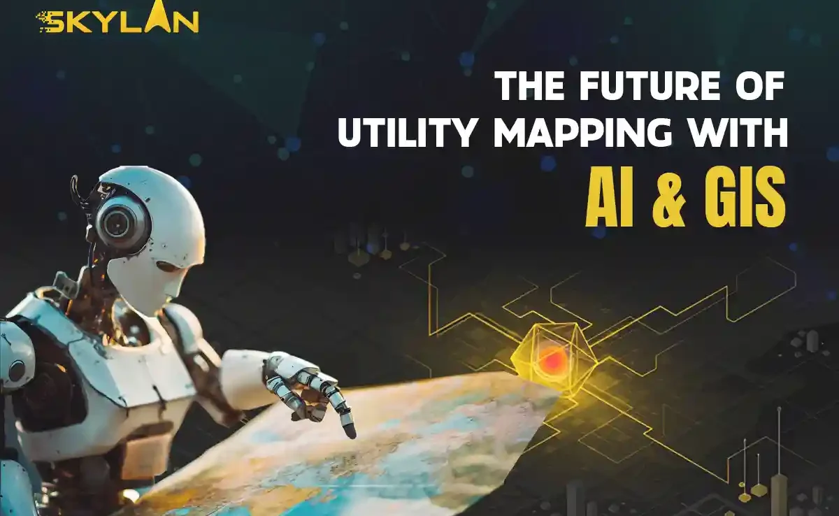
Fulfilling the current pace of technological advancement, the drone mapping services are one of the most critical assets in transforming industries from agriculture to construction. With unmanned aerial vehicles (UAVs), drones can be used to get high-resolution imagery and acquire data more quickly and efficiently, thus helping businesses with that degree of decision-making accuracy. In this guide, we discuss what drone mapping services are about, their applications, and their benefits, along with the ways drone surveying companies are improving their operations. Understanding Drone Mapping Services What Are Drone Mapping Services? Drone mapping services use UAVs equipped with high-precision cameras and sensors adapted to fit them to produce accurate maps and 3-D models. These fly over the designated areas, covering them with high-resolution images that offer a comprehensive overall view of the site, including the terrain, infrastructure, and other essential elements. It is very useful in several sectors, including construction, agriculture, forestry, and environmental monitoring. The Process of Drone Mapping Certain vital stages characterize the drone mapping services: 1. Mission planning considers what area will be captured and how best to survey such space before the UAV is ever deployed. 2. Data collection involves flying drones over a target area to collect images, video footage, and other data. Depending on project needs, these UAVs can work either autonomously or under manual control. 3. After the data is collected, the images are processed in specialized software for generating orthomosaic maps and 3D models. 4. The resultant data is then analyzed to generate insights for clients’ benefit so that they may make informed decisions with regard to the presented information. Fields of Application for Drone Mapping Services Construction and Infrastructure The construction industry uses drone mapping services mainly to perform accurate site surveys, tracking of progress, and land assessments. Construction companies can monitor activities on the job site in real-time and generate maps that help in efficient project management. The use of UAV mapping services minimizes human error and increases safety, as there is no need for workers to access hard-to-reach areas physically. Agriculture Drone mapping services are now accepted daily by farmers in the agro industry for enhancing crop management. Multispectral cameras on drones can assess plant health, monitor irrigation systems, and track pest or disease outbreaks. With UAV mapping services, farmers can make informed decisions that increase crop yield without wasting or using many resources. Environmental Monitoring Drone mapping services are essential for environmental monitoring with real-time collection and analysis of ecosystem data. They can also cover vast areas of image acquisition for wildlife population monitoring and changing land-use patterns. Such information is of paramount importance for conservation and environmental assessment. Real Estate In real estate, drone mapping services provide breathtaking aerial data that bolsters property listings. UAV-based mapping and 3D modeling help real estate agents lure potential buyers by providing distinct perspectives unavailable to traditional photography. With cutting-edge technologies, realtors can distinguish their listings in a highly competitive market. Mining and Land Use Exploration, site planning, and day-to-day operational surveillance make the use of drone mapping services by mining companies indispensable. Topographic maps produced by drones are accurate enough for the necessary data on mineral deposits and land use. Their efficiency and safety in the more hazardous environments make it all the more possible for the reduction of operational risk. Benefits of Drone Mapping Services Cost Effectivity The first-listed benefit of drone mapping services is their cost effectiveness. Drones need fewer resources and personnel in comparison to the conventional mapping methods. Hence it becomes an economical option for the businesses. Besides, UAVs are able to cover great expanses of land in a fraction of the time as compared to ground mapping methods. Higher Accuracy Drones with high-resolution cameras and advanced sensors yield extremely accurate mapping results. They are capable of collecting data at different angles and heights, and thus avoid many human errors, ensuring better quality data and more valuable insights into the businesses. Time Savings The work is done well in drone mapping services from the aspect of promptness. A site survey which can take days or even weeks by normal means can be complete in a matter of hours with drones. Swift data acquisition allows companies speedily to make decisions and stick to the project timeline. Safety First Safety should be preserved more with drone mapping services since it reduces personnel operating in unsafe zones. A drone can operate even some of the most difficult terrains and provide data without putting personnel in danger. Choosing the Right Drone Surveying Company While considering different factors when opting for a drone surveying company for drone mapping services: Experience and Expertise It’s important to select an industry-experienced company with an operational history providing drone mapping services. Search for testimonials, case studies, and reviews to assess the capabilities of potential partners. Equipment and Technology The impact of technology on data collection dimensions has included the extent to which it cushions and protects data collected. Choose an enterprise that has the latest UAVs, cameras, and processing software to ensure that you receive optimal outputs when utilizing drone surveying services. Regulatory Compliance Lastly, it is essential to check if the drone surveying firm complies with local regulations and possesses the necessary licenses for commercial drone operations. This aspect is critical for safety and legality. Service Range Different companies provide varying services in this respect. So, know what you specifically need, be it aerial imagery, 3D modeling, or data analysis, and choose the right company. Bringing Together Drone Mapping with GIS- GIS Technology Geographic Information Systems (GIS) are very much involved in maximizing profit from the potential of drone mapping services. UAV data coupled with GIS creates organizations that deliver a detailed geospatial analysis. This combination enables insight by overlaying many various data types, geotagging assets, and managing geographic data. Applications of GIS with Drone Mapping Integrating drone mapping services with GIS permits diverse applications such as those linked to urban planning, environmental assessments, and disaster relief operations. Such one would empower interested parties
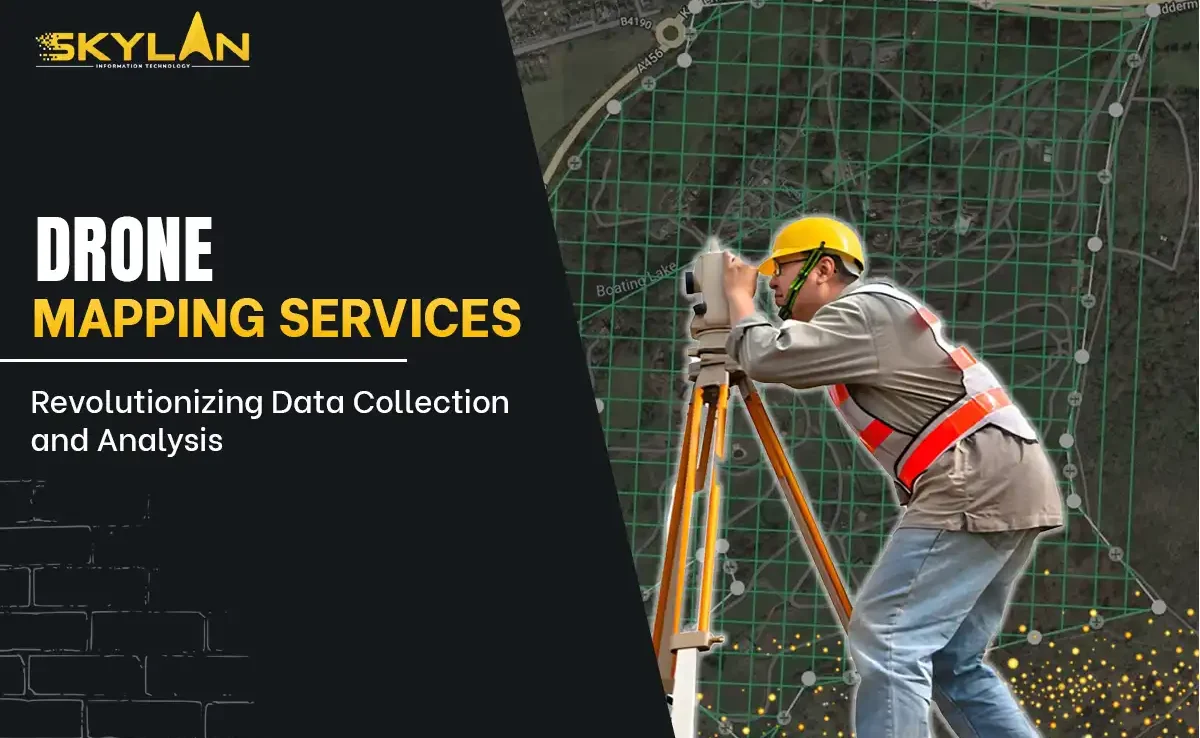
In just the past few years, drone services have broken new ground by starting to revolutionize business operations in every industry. From aerial photography and surveying to agricultural monitoring or real estate marketing, the applicability of drone technology seems to bring hundreds of advantages. So as we come closer to the world of aerial services, let’s look at their applications, benefits, and future possibilities. Understanding Drone Services What Are Drone Services Again? Although a fair descriptor of the term, drone services are probably representative of the landscape of unmanned aerial vehicles (UAVs) when one refers to it as commercial applications of these machines. Completing tasks that have previously been accomplished only with manned aircraft, ground vehicles, or manual labor, usually examples include aerial photography, surveying, mapping, inspections, and more. Why Use Drone Services? Drones have been quickly popularized as cheap and easy equipment for collecting quality, healthy information. With such equipment, aerial imagery could be taken, changes monitored in real-time, and measurements taken precisely, all yielding streamlined operations that benefit various businesses in different sectors. Applications for Drone Services Aerial Surveying and Mapping One of the most common applications for drone services is aerial surveying and mapping. Drones equipped with advanced cameras and LiDAR sensors can quickly and reliably capture high-definition imagery over large areas. Those images can be processed into highly detailed maps and models to assist various professionals, including surveyors, architects, and spatial planners. Agricultural Monitoring The emergence of drone services in the agricultural sector, however, has presented real-time crop health analysis, watering, and pest information. It is now possible for farmers to assess plant vigor and malniculate areas by using multispectral images captured using drones. The application of aerial imagery services to optimize producer agronomy has enhanced yield increase and minimized losses. Construction and Infrastructure Inspection These services are the best in the construction industry today, monitoring job site progress, structural integrity, and inspection. Aerial imaging services could document all the stages of construction; hence it can be tracked and reported easily. Apart from this, drones provide a way of accessing those places that are otherwise dangerous and complicated for human access, for instance, roofs, bridges, and power lines. Real Estate Marketing Real estate marketing has been changed by drone services, which have allowed agents to partner with drone pilots to obtain stunning aerial imagery of their properties. Drones provide an attractive view that helps display real estate listings for potential buyers eager to view properties from different perspectives. Using drone imagery services in real estate gives agents an edge over their competitors in an already crowded arena. Environmental Monitoring and Management Drones have served inestimably when it comes to environmental monitoring and management. Drone services may be utilized in wildlife tracking, forest health assessment, natural disaster management, and pollution monitoring as well. Environmental scientists get to produce high-quality aerial imagery services that will give them the further opportunity for decision-making, taking action, and responding to timely changes. Advantages of Using Drone Services Cost-Effectiveness The most powerful argument in favor of drone services is cost-effective delivery. In fact, aerial surveys make use of very costly equipment such as helicopters and fixed-wing aircraft and involve huge manpower mobilization. But drones can do it in a very small amount and are, therefore, very cost-effective for companies seeking to cut back on their operational costs. Advanced Accuracy Drone services offer high-resolution images and data that really add value to their accuracy. With these machines, photography taken from different altitudes and angles is produced with a much lower possibility of human error in the processes of surveying and mapping. Such high precision leads to better quality insights for decision-making. Speed and Efficiency Drones can gather data at great speeds. They are capable of traversing various regions in a very short time as compared to traditional means of surveying. This greatly reduces the duration of projects. A place that would take days for foot surveys would typically be completed in a few hours using the drone services. Safety and Accessibility Drone services perform the very crucial function of minimizing accident risk when it comes to inspection of hard to reach areas. Instead of putting employed humans at risk, data can be gathered wherever that is without putting a life in danger. This safety dimension becomes quite important for sectors that require inspections in dangerous environments like construction and energy. How Drone Services Work First, let us plan the operation Before using drone services, it is essential to plan the operation in detail. This involves establishing the best flight path, specifying the data to be collected, and verifying regulatory compliance. Ultimately, successful planning leads to more effective operations and data collection. Secondly, aerial data capture After planning, the drone is flown into the sky. During the flight, it takes high-resolution images and captures data using specialized cameras and sensors. Depending on the requirements of each project, a drone can either perform an entirely autonomous flight or can be controlled manually. Thirdly, Process and analyze the data. Once the mission is completed, the collected data will undergo processing. There are available software tools that allow the operators to stitch images together for crafting maps and models. This processed data can then be analyzed to extract insights and generate reports for their clients. Last step – Report and share the results The last stage involved producing reports with the drone services. Usually, operators prepare comprehensive reports that include visualizations and insights from the data into what is called the final product. Clients can use this information to make informed decisions. Real Cases of Drone Services in Practice Example 1: Agriculture For precision farming, many farms have actually employed drone services. Farmers can quickly identify areas of crop stress and apply treatments more efficiently by using multispectral cameras mounted on drones. Thus, they have healthier crops and higher yields to show without the unnecessary loading of resources. Example 2: Construction A construction company has just used a drone for aerial imaging services monitoring a large
Architecture, real estate, and urbanism have indeed radically changed in the last few years thanks to 3D mapping buildings with drones. Technology has developed over it, allowing the use of drones for efficiently and accurately creating 3D models of structures with amazing details. This method helps UAVs produce data-enriched views through less error and maximum productivity on the construction and planning phase. The whole idea behind 3D mapping buildings using drones, the many benefits it brings along and how the information is processed from drone to 3D model will be discussed comprehensively in this guide, its advantages, and the drawbacks for the future of the industry. Understanding 3D Mapping with Drones It is a system of creating three-dimensional embodiments of real-world sites. In referring to 3D mapping of buildings with drones, we will refer to UAVs armed with high-resolution cameras and LiDAR technology for aerial imaging and data collection. These aerial pictures are processed to create a digital model for various applications, from urban planning to historical preservation. How Drones Work in 3D Mapping Drones equipped with specialized cameras and sensors fly over the designated area in a grid pattern. They capture vertical and oblique photographs, and with the help of software, these images are stitched together to create a comprehensive and detailed model. The transformation from drone to 3D model involves complex algorithms that interpret the collected data, generating a visual representation usable by architects, engineers, and city planners. Advantages of 3D Mapping Buildings with Drones 1. Cost-Effectiveness: Traditional surveying usually demands much time, manpower, and equipment. In comparison, drone 3D mapping buildings is a much cheaper option that cuts down on labor costs and the length of time taken in considering data collection. 2. Accuracy: Drones are capable of capturing images precision-wise without fault. The resulting 3D models are highly detailed, so decisions made in the designing and construction process are based on real data. 3. Timeliness: Working with drones, which are very efficient at mobilizing over large stretches of terrain, also implies that survey work gets completed much faster. Whereas with conventional means the processing might take days or weeks, the same could often be done within a matter of hours using UAV technology. 4. Safety: Drones enhance safety in 3D mapping buildings by enabling the survey of hard access locations without the risk of sending workers into unsafe areas. 5. Data-Rich Collections: Aside from images, drones also collect topographical data, which are essential for land-use planning, landscaping, and environmental assessment projects. Key Technologies Behind Drone 3D Mapping UAVs: The Heart of 3D Mapping UAVs are significant in the process of making a 3D model. Different sensors and cameras are used, from RGB cameras for taking color photographs to thermal cameras for heat mapping to LiDAR sensors for precise measurements. This way, various types of data are collected that could be essential for the construction and planning processes. The Role of Software in 3D Mapping The software is a complex, highly specialized application that is used to convert raw drone data into usable models, including Pix4D, DroneDeploy, and RealityCapture. This software allows users to import drone-captured images and process them into digital models. Several analyses, such as topographic mapping, volumetric calculations, etc., can also be performed on these platforms. Applications of 3D Mapping in Various Industries Architecture and Construction Aerial drone 3D mapping of buildings is widely used in architects and construction firms for project planning, monitoring, and execution. The continuous access to accurate models can help these professionals change their minds according to real-time data and thus improve the overall quality of their work. Real Estate High-quality 3D models made from drone data can really augment listings in real estate. Buyers receive immersive visualizations of properties that give extensive information beyond traditional photographs, allowing for more informed choices. Urban Planning Urban planners can utilize UAV-based mapping for a better way to assess land use and also visualize the same. Diversity in quickly making or modifying models can help planners know what beauty exists in making the city smarter, more efficient, and greener. Environmental Management At the same time, drones can bring 3D mapping building with drones to environmental management-having studies of deforestation, urban sprawl, and changes specifically in biodiversity. This analysis is critical for properly managing ecological resources sustainably. Process of Creating 3D Models using Drones Step 1: Planning the Flight Good drone 3D mapping of buildings involves proper flight planning. The operator will have to analyze the selected area to be mapped, prepare proper flight paths, and take care of compliance depending upon his area of operation. Step 2: Data Acquisition All during the flight, images are taken by the drones at predefined intervals. The quality and resolution of cameras will greatly influence the quality of the 3D model, and hence, in addition to the type of UAV, selection of sensors will also be critical for collecting high-quality data. Step 3: Data Processing After the collection of data, operators will stitch images together using proprietary software. These steps involve working with algorithms to turn the pictures into a coherent 3D model. Step 4: Analysis and Dissemination This final model is more than a representation; it can be analyzed for any number of processes. Interoperable formats allow interested stakeholders to view data and interact with it, ushering into a collaborative environment for decision-making. Case Studies of Successful Drone Mapping Case Study 1: Urban Development in Chicago Constructed buildings in Chicago, with 3D mapping buildings using drones, as the construction company advances toward developing a city within the urban setting. The data obtained from it was then analyzed through drones, accurately visualizing city layouts with stakeholder integration for new development locations and saving the time process from weeks to days. Case Study 2: Historical Site Preservation In the face of the decline of the historical building, a team preservation took to using UAV technology for 3D mapping buildings using drones. Detailed models were produced that illustrated architectural features and enabled 3D renderings for restoration purposes. The
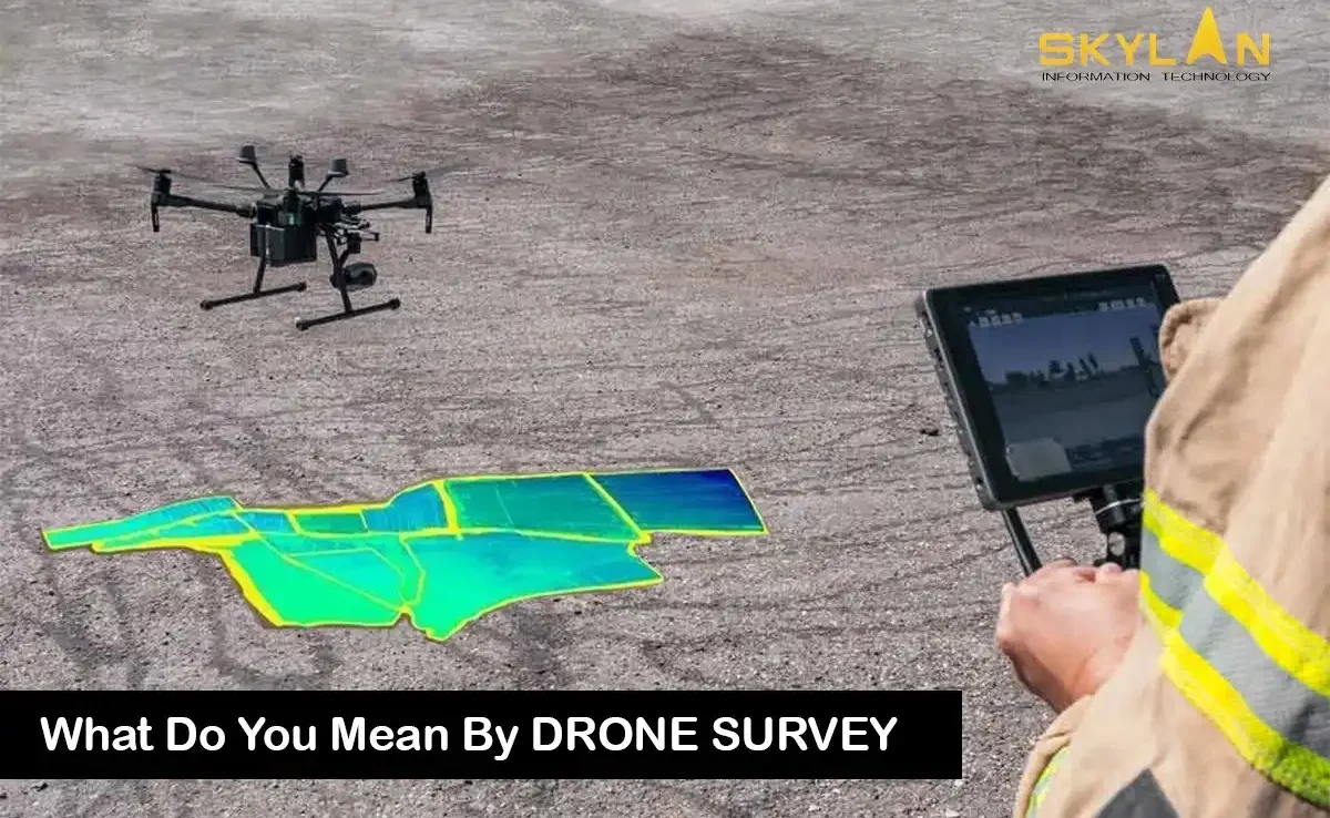
As technology continues to advance, unmanned aerial systems have been integrated into traditional industries, changing how professionals gather data and map terrains. Drone surveys are the newest innovation in this area. A drone survey is conducted through a drone that captures high-resolution images along with detailed geographic data. Compared to the traditional surveying methods, drone surveys are faster, safer, and more cost effective. This guide is designed for a beginner, so we will focus on multi-faceted concepts starting with explaining a drone survey to its specifics like drone survey cost, drone land surveying cost, and the importance of a drone surveying company in delivering accurate results. Whether it’s figuring out the functions of a drone for a construction project, or incorporating drone land surveying for an agriculture business management, this blog is meant to help you. As we go further, we will answer frequently asked questions about drone survey costs along with the advantages of drone land surveying. After this discussion, you will understand how to smartly incorporate these technologies in your daily workflows. What is Drone Survey? To put it simply, a drone survey is taking photographs, data, and measurements from the air using an unmanned aerial vehicle. Not only is a drone survey easy to carry out, but it also provides a level of detail that is difficult to reach with older methods. While performing a drone survey, specialists make use of the latest technology, which includes advanced sensors and high resolution cameras built into the devices. In order to appreciate this method, it is essential to explain what a drone is as well as its parts and functions. In most conversations, specialists normally argue that “define drone” is the first thing that comes to mind when these devices and their functions are under discourse. We’ve read that paraphrasing experts often say, ‘Define drone,’ so that, when a functional explanation comes to mind, everybody captures the technology attached to it. Drones have transformed other industries like construction, environmental monitoring, and agriculture because they can easily and quickly cover a huge area of land within a short period of time. With every new project, teams realize that a drone survey is crowding out a certain traditional way of surveying within the shortest possible time. In any case, cutting-edge technology pays off in the speedy receipt of accurate data and, as a result, the receipt of technology for planning the necessary actions. We will also define drone survey attributes that make these systems essential tools in modern surveying as we go further. The benefits of drone surveys are clear in how much land they are able to survey in a short amount of time. How Drone Land Surveying is Changing the Way Maps are Created Mapping and data collection has been greatly enhanced with the addition of drone land surveying. Topographic data can now be captured accurately without having to do a lot of on-site measurement, thanks to drone land surveying. The processes associated with drone land surveying utilize cutting-edge technology to capture photographs, build 3D models and make detailed maps to facilitate the project planning process. Prior to commencing a project, a large number of industry specialists examine the cost of drone land surveying services to determine whether or not the budgets that are available will cover the necessary expenditures for the technology. Also, companies wanting to purchase these modern systems frequently turn to a drone surveying company for reliable information on drone survey cost as well as drone land surveying cost. Industry practitioners must understand how to define drones in order to enjoy the full value of these technological advancements. Drone land surveying is becoming popular all over the world and its effectiveness and accuracy are appreciated in different industries. These innovations in drone land surveying have transformed the way people think about speed and precision and have made this technology the go-to option for large-scale projects. It is critical to assess the cost of drone land surveying versus the cost associated with other forms of traditional surveying because the demand for aerial data is continuously growing. The change caused by drone land surveying isn’t only about minimizing expenses, but also about improving the quality and depth of the information gathered. Cost of Using an Aerial Drone for Land Surveying and Other Drone Survey Services As data becomes more important in today’s competitive world, many companies are looking to aerial data collection for effective budgeting and planning. In this effort, businesses look for understanding drone survey costs that are associated with mapping and accurate data collection. The expense involved in a drone survey is not only the purchase of the drone but also includes expenses such as data processing, certification and equipment maintenance. Keep in mind that the lowest drone survey cost is not always the best option because reliability, accuracy, and quality are crucial for the effectiveness of the results. Also, when companies look at drone land surveying cost, they must also take into account the value of equipment, labor, and post-processing software. Because of an increase in the adaptation of these techniques by various organizations, the analysis of costs versus benefits is being shifted and focused towards drone survey costs. This is something many people oppose because the productivity gains that come with using a drone survey often exceed the drawbacksMthat accompany a high drone survey cost. With all the new technological innovation, it is expected that in time both drone survey cost and drone land surveying cost are likely to decrease. For investors looking into aerial survey methods, one of the major benefits is how open and clear the drone calculations are. It is prudent to think of a drone in practical terms in advance of putting money into any technology, so that each dollar spent can be justified. Companies can optimize their investments in this novel area by scrutinizing the costs associated with drone surveys as well as drone-assisted ground surveying. Choosing a Drone Surveying Company It is equally crucial to pick the
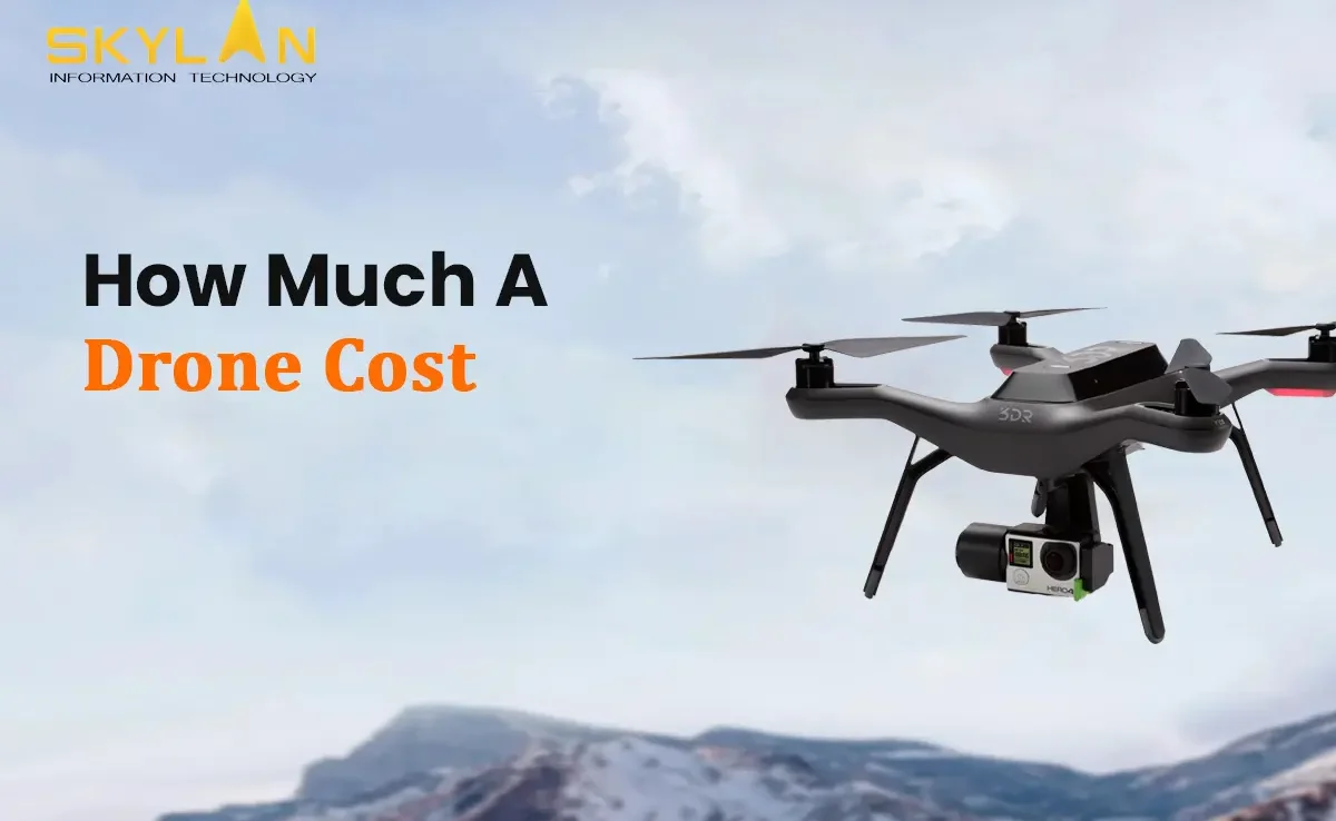
The past few years have seen an explosion in the usage of drones across different industries like photography, agriculture, filmmaking, and security.This new technology comes with a set of queries regarding pricing for potential customers. Clients generally question how much does a drone cost, as they seek to understand how to balance functionality with their budget. Furthermore, comprehending the pricing expenditure of drones is needed when undertaking model and feature comparisons. In India, which is a rapidly developing economy, people must factor in both the expense of purchasing the drone, as well as the spending needed to acquire a drone license in India. Drones have captivated other sectors of the economy too, for example modern agriculture, which attempts to understand the debate surrounding the costs of agriculture drones, as these devices are changing conventional ways of doing things. Given all these factors, the attempt to arrive at a single price for drones is influenced by the modern technology, government policies, and the purpose of the people buying these drones. Factors Influencing Drone Cost Prices These drones are costly, plus technology integration, such as camera pixels, flight control, GPS functionality, and sensor capping, has an impact on drone pricing just as much as the brand reputation and build quality. However, brand reputation and build quality are equally essential. Established brands and manufacturers tend to charge a premium because of their sophisticated engineering and guaranteed performance. They also consider regulatory fees and certification demands. As a result, the drone cost in India is not just a sum of the hardware expenses, which is what most people believe. Furthermore, operational software, maintenance, and after sales support add to the total investment because users need to take into account what is the price of drone in terms of support, maintenance, and upgrades. These various factors, as well as numerous others such as market conditions and the environment, impact the decisionPricing strategy, product and brand perceptions, as well as the marketplace setting are all determinants affecting the final decision. Drones for Beginners Drones for beginners are the perfect first step for hobbyists and novices looking to engage with a new aerial technology. These models are made in a way that ensures they are simple and economical, and thus, they can be afforded by people with little to no financial resources. For a considerable number of novice users, a challenge that seems to linger is what is the cost of a drone at the most basic level, and does the price equate to the features offered. In addition to possessing basic flying capabilities and average camera quality, these drones tend to be smaller in size and easier to operate, which is ideal for users wishing to try out new technology without spending much money. With countries like India, the existence of low-priced alternatives suggests that the cost of drones in India is very competitive. Even though these devices have low price tags, they are highly likely to require careful thought regarding the drone license india cost in order to fly in a legally safe manner. All things considered, entry-level devices are low-cost ways to try out aerial photography and remote-controlled flying devices. Mid-Range Drones Drones in the mid-range category are more sophisticated than the entry level models and balance cost and productivity. Users are able to appreciate their functioning without having to invest huge amounts of money in professional grade equipment. These models are generally equipped with high definition cameras, extended battery life, and intelligent flight modes which greatly enhance the user experience. Questions such as what is the price of drone become an important part of the customer deliberation process as the features begin to pile up and so does the expense. Mid-level drones are equipped with advanced imaging and stabilization systems making them more expensive, but they are engineered to offer better durability and precision. This category is reasonably well serviced in India, and due to the competition, the drone cost in India is affordable for many serious hobbyists and semi professionals. However, as the regulation get stricter, even mid range purchases are likely to incur extra charges like the drone license india cost fees. Professional and Industrial Drones Drones that are classified as professional or industrial drones are positioned at the highest level of the market and are designed to cater to the very sophisticated commercial needs, which may include high-end filmmaking, infrastructure inspection, surveying, and agriculture. These types of drones possess advanced features like ultra-high resolution cameras, thermal imagers, LiDAR sensors, and advanced flight control systems, among others, meaning they come with a premium drone cost price. These specialists frequently monitor the market’s offer by asking themselves how much does a professional drone cost price and justify the funding by balancing operational capabilities with long-term benefits. Moreover, these sophisticated drones are very expensive as a result of the rigid fusion of software and hardware. For customers in India, the drone cost in india for these advanced models is always higher than simpler ones as they have to follow the global pricing trends along with the local regulatory considerations. In addition, having the appropriate certifications is a vital step in having such equipment, as verified by the drone license india cost. The Costs of Drones in India The Indian economy has witnessed a surge in the adoption of drone technology owing to rising consumer interest and increased commercial use. Both local consumers and businesses face specific challenges in assessing their pricing as there is heavy consideration on what the due drone cost price is in terms of local manufacturing versus import duties. The prevailing prices for drones in India depend on the local innovation and competition from other brands as well as the sometimes required additional government taxes. Buyers also face a set of burdens that includes legal documentation where the cost of obtaining a drone license in India becomes critical. With advancement of the market, the more affordable drones are presented which makes the drone cost in India lower than before.
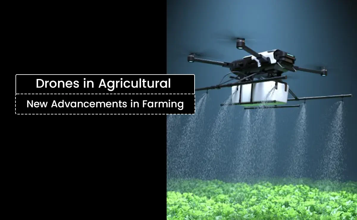
Agriculture today grapples with various ultra modern issues, starting from scarcity of workers and soaring prices of necessities to the precision needed in the allocation of resources and the preservation of the environment. While droning technology is only a small segment of the picture, the advent of drones is set to shift agricultural innovation and practices on its head. This blog will cover the answer to the question How do agriculture drones change farming practices globally?. The answer will touch on drone technology’s many use cases, ranging from drone farming benefits to its increasing adoption in India and what lies ahead for this innovative technology. Evolution of Drone Technology in Agriculture The last few decades have seen a radical shift in the application of drone technology from military and leisure uses to a spotlight position in agricultural activities. Also known as unmanned aerial vehicles (UAVs), drones have now become a key instrument in the agriculture sector for observing the condition of the crops, applying pesticides, and even surveying the fields with great precision. The increasing demand for undiscerning agriculture – a method of farming that utilizes real-time information to achieve maximum production while reducing waste – works in tandem with the need for newer technologies in agriculture. Modern drones can be equipped with high-resolution multispectral imaging sensors thanks to advancements in drone technology and the miniaturization of sensor technology. Farmers are empowered by the ability to make informed decisions as even the most minute variations in plant health, which are not visible to the naked eye, can be captured. With the continuous advancements in drone technology within the agricultural field, the term “drone farming” has become a strikingly popular counterpart to sustainable agriculture. Associated Uses of Drones in Agricultural Activities Farmland Surveillance and Mapping An important use of agricultural drones is analyzing and mapping different fields faster than what humans can achieve. Because drones come with high definition cameras and multi-spectral sensors, they are able to take aerial pictures that are later turned into orthomosaic maps and NDVI (Normalized Difference Vegetation Index) images. These maps assist farmers in analyzing the health of the crops, finding pests, and determining how much water or nutrients the crops need. The accuracy of these detailed maps enables variable rate applications where inputs such as water, fertilizers, or pesticides are applied in the most efficient, targeted areas only, thus ensuring less waste and more productivity. For example, during the precision agriculture phase, drone images can be processed with GPS and GIS technology to extract the three-dimensional topographical layout of the fields. These diagrams can show farmers as they reveal fine details of the field’s topography such as elevation changes and drainage features, which aid in irrigation control. Precise Spraying Technique With Crop Protection Agricultural drones are also changing how farmers put fertilizers, pesticides, and herbicides onto crops. Aerial or manual spraying of crops is labor intensive and less accurate, often leading to chemical overuse. Conversely, drones are programmed to follow specific routes, and they can spray specified amounts of chemicals onto only those zones that require treatment. This technique is known as precision spraying, and it lessens the waste of chemicals and lessens the effect on the environment. Novel startups have provided agricultural drones in India that spray pesticides with precision which in turn lessens manual work and chemical application. Moreover, the drones ensure treatment of crop diseases early on without letting infestations spread which helps treat diseases at the onset itself. Water Management and Irrigation: In the current agricultural world, effective use of water is crucial especially in areas with limited water supply. Drones make use of thermal and multispectral cameras to highlight areas where water stress is visible to modify irrigation efforts. This partial irrigation not only saves water but ensures that the crops are optimally nourished with moisture to support healthy growth. Monitoring Veterinary Livestock and Aerial Farm Surveillance Drones: Monitoring Veterinary Livestock and Aerial Farm Surveillance Drones have found new uses in livestock management, including the monitoring of farm fields. Farmers are now able to track herd movement and check the health of their animals and even examine the fences and other remote areas of their properties using drones. Drones allow for the surveying of large portions of land in a very short time. This allows farmers to detect malfunctioning equipment and wandering livestock before they become difficult and expensive problems to manage. Collecting And Analyzing Information Data: Collecting And Analyzing Information Data can be captured in the form of video footage and images. Farmers are using drones to capture data and images that can then be processed with actionable insights. These days, drones capture footage and images that are integrated with modern software that can be utilized for real time processing of aerial data. Machine Learning algorithms can analyze the data for actionable insights. For example, farmers can use this to predict yields by cross referencing current imagery with other historical imagery. Also, this data driven approach surfaces the need for corrections. These forms of approaches enable farmers to manage their resources with pinpoint accuracy unlike a decade ago which is referred to as precision agriculture in a broader term. Benefits of Using Drones in Agriculture The adoption of drones in agriculture offers numerous advantages that are modernizing and optimizing farming practices to make them more efficient and sustainable. Increased Efficiency and Savings Drones in agriculture drastically cut down the time needed for field surveys. Activities that took weeks of work can now be finished in a matter of hours. For instance, rate of coverage in ground surveys is usually only a few acres per hour, while drones can cover hundreds of acres in one flight. Not only does this cost efficiency save on labor expenses, but also water and fertilizer usage. Many farmers across regions have reported a decrease of 30% in input costs due to switching to precision spraying with drones. Enhanced Crop Growth and Health Drones detect pests, diseases, and nutritional shortages in crops based on
Introduction Disasters like earthquake, cyclones, tsunami and landslides regularly displacing thousands of families and lead to billions in damages. Such events show the critical need for effective disaster management so that lives can be saved and damages can be reduced. Geographic Information Systems (GIS) have emerged as an important tools in this space. By providing real-time insights and helping in strategic planning, GIS helps communities prepare for, respond to, and recover from disasters more efficiently. In this blog we will tell how GIS works in disaster management, its applications during different phases of the disaster, real-world examples of it, the challenges of implementation, and its promising future. The Role of GIS in Disaster Management What is GIS? Geographic Information Systems (GIS) is a technology that is capable of capturing, analyzing, and visualizing spatial/geographic data. It integrates location-based information such as maps, satellite imagery, and demographic data to provide actionable insights. GIS is widely & regularly used in various fields, like environmental conservation, urban planning, and disaster management. In the context of disaster management, GIS offers tools to analyze risks, maps affected areas, and coordinate responses timely. Whether it’s mapping flood effected zones or tracking wildfire spread in real time, GIS provides a powerful platform for making informed decisions in most of the cases. Why is GIS Crucial in Disaster Management? Disasters are completely unpredictable, and that makes them challenging to manage. Major hurdles include predicting patterns of disaster, coordinating relief efforts, and assessing damage efficiently. Traditional methods mostly rely on manual processes, which are very slow and also prone to errors. GIS covers this gap by offering: Accurate Predictions: GIS tools analyze historical and environmental data to predict disaster-prone areas. Effective Coordination: By visualizing real time data, GIS ensures that emergency teams and resources are directed to areas that need immediate help. Comprehensive Damage Assessment: GIS quickly evaluates the extent of damage, speeding up recovery efforts. Applications of GIS in Different Phases of Disaster Management Pre-Disaster (Preparedness and Mitigation) Risk Assessment and Hazard Mapping GIS identifies vulnerable areas by analyzing data on terrain, population density, and climate patterns. For instance, it can map flood-prone zones, helping authorities develop strategies to reduce risks. Disaster Planning With GIS, emergency planners can design evacuation routes, position emergency resources like shelters, and conduct disaster simulations to test preparedness. This ensures a quick and effective response when disaster strikes. Public Awareness and Education GIS-powered interactive maps educate communities about disaster risks. For example, residents can use online maps to see if their homes lie in earthquake or flood zones, helping them prepare better. During Disaster (Response) Real-Time Data Collection and Analysis GIS integrates live data from satellites, drones, and sensors to offer real-time insights. This helps first responders assess the disaster’s impact and prioritize rescue efforts. Resource Allocation By identifying areas most affected, GIS ensures resources like food, water, and medical supplies are distributed efficiently. It minimizes wastage and ensures help reaches those who need it most. Coordination of Emergency Services GIS facilitates seamless communication among emergency teams. Whether it’s fire services, police, or medical teams, GIS helps synchronize efforts, reducing response times and saving lives. Post-Disaster (Recovery and Reconstruction) Damage Assessment GIS tools analyze satellite images and ground reports to assess the extent of damage to infrastructure, homes, and the environment. This data is critical for planning recovery efforts. Reconstruction Planning By using GIS data, planners can rebuild communities in safer and more resilient ways. For instance, flood-resistant housing can be designed in areas prone to heavy rainfall. Long-Term Monitoring Even after recovery, GIS continues to monitor the affected areas for environmental changes and potential risks. This ensures sustained support for impacted communities. Real-World Examples of GIS in Disaster Management Hurricane Response During Hurricane Harvey in 2017, GIS played a critical role. Authorities used GIS to map flooded areas, plan evacuation routes, and track rising water levels. This improved response times and minimized casualties. Earthquake Preparedness Japan, a country prone to earthquakes, uses GIS extensively for disaster management. Risk maps created using GIS guide construction efforts and emergency planning, ensuring structures can withstand tremors. Wildfire Management In California, GIS is instrumental in managing wildfires. Real-time data on wind direction, vegetation, and fire spread helps firefighting teams strategize and deploy resources effectively. Challenges and Limitations of Using GIS in Disaster Management Data Accuracy and Availability GIS relies on accurate and timely data. In disaster scenarios, gathering high-quality data can be challenging due to damaged infrastructure and inaccessible areas. Technical and Financial Constraints Implementing GIS requires advanced technology and skilled professionals, which can be expensive. Developing countries often face difficulties adopting GIS due to limited resources. Privacy and Security Concerns Using GIS to track populations and resources raises privacy issues. It’s essential to balance efficient disaster management with ethical considerations regarding data use. The Future of GIS in Disaster Management Emerging Technologies GIS is evolving rapidly with the integration of Artificial Intelligence (AI), Machine Learning (ML), and the Internet of Things (IoT). These technologies enhance GIS capabilities, allowing for better disaster prediction and response. Global Collaboration As disasters affect multiple countries, GIS fosters international cooperation. For instance, organizations like the United Nations use GIS to coordinate disaster relief efforts across borders, ensuring a unified response. Continuous Improvement With the frequency and complexity of disasters increasing, GIS technology must keep evolving. Ongoing innovation will ensure that GIS remains a reliable tool in building disaster-resilient communities. Conclusion GIS has revolutionized disaster management and emergency response by providing real-time insights, streamlining resource allocation, and improving coordination among emergency services. Its applications in all disaster phases—pre-disaster, during disaster, and post-disaster—show how invaluable it is in saving lives and reducing damage. As technology advances, the potential of GIS will continue to grow, offering new ways to tackle the challenges of disaster management. If you work in disaster management or related fields, now is the time to explore how GIS can transform your strategies. Together, we can use this powerful tool to build safer, more resilient communities prepared to face the
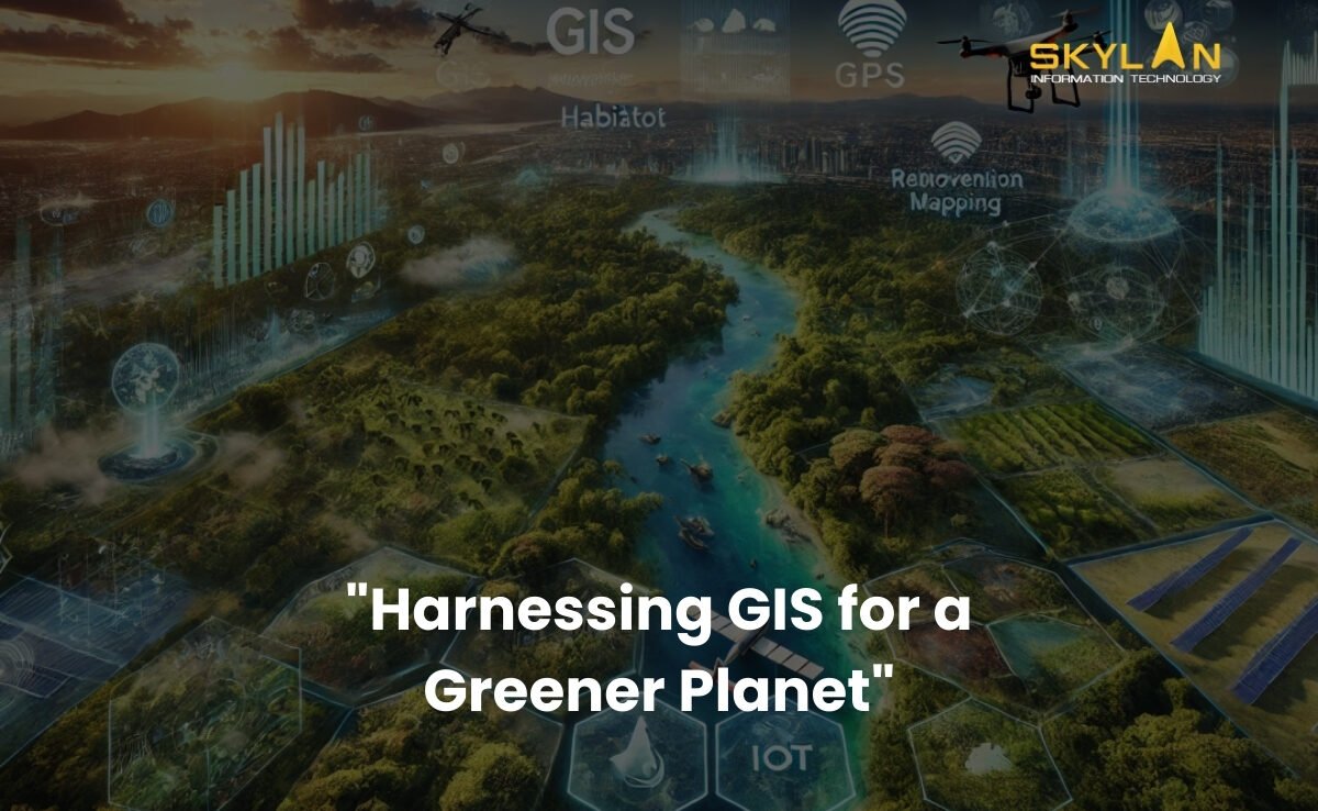
Introduction Did you know that every minute, there is deforestation or some form of environmental damage happening globally? This increasing rate of environmental damage shows the immediate need for effective conservation measures. As global ecosystems face increasing threats from deforestation, climate change, and pollution, Geographic Information Systems (GIS) have come up as an important tool for environmental conservation. GIS helps researchers, and policymakers, to collect, analyze, and visualize complex data, that helps in making smarter decisions and better resource management. In this blog, we’ll discuss about the role of GIS in environmental conservation, and its key applications, the challenges it faces, and its potential in coming future. Let us understand how this technology is shaping the future of preserving natural ecosystems and promoting sustainability. The Role of GIS in Environmental Conservation What is GIS? Geographic Information Systems (GIS) is a technology that is used to captures, stores, analyzes, and visualizes geographic and spatial data. It is like a digital tool that creates highly detailed maps and models that help in understanding various landscapes of various places on earth and processes occurring on our planet better. By combining various layers of data, GIS provides information about complex relationships between the natural resources, human activities, and environmental changes. Why environmental conservation needs GIS? Environmental conservation efforts are often stopped by challenges like incomplete data, difficulties in analyzing large datasets, and the inability to visualize changes over time. GIS solves all these issues by providing a powerful platform to: Key Applications of GIS in Environmental Conservation 1. Habitat Mapping and Wildlife Management One of the most important applications of GIS in environmental conservation is its use in mapping and monitoring habitats. For example: 2. Deforestation and Land Use Monitoring Deforestation is a major reason for climate change and biodiversity loss. GIS helps in solving this issue by: 3. Water Resource Management Water is a very important resource, and its management is essential for both human and ecological health. GIS contributes to water conservation by: 4. Climate Change Analysis In present times climate change is one of the major problems that is present globally. And GIS plays a key role in understanding and addressing its impacts by: 5. Pollution Tracking and Mitigation Pollution affects air, water, and soil, harming ecosystems and human health. GIS helps mitigate these effects by: Challenges in Using GIS for Conservation Even though there are many benefits, using GIS in environmental conservation has its own set of challenges: Accurate data is the backbone of GIS, but in remote or underdeveloped regions obtaining reliable information can be difficult. Because of which gaps in data can lead to wrong analyses and ineffective conservation strategies. GIS tools require skilled and experienced professionals for operating them effectively. Analyzing and interpreting GIS data requires a thorough understanding of both technology and environmental science, which can be a barrier for some organizations. In some cases, implementing GIS technology can be expensive. As it requires acquiring software and hardware to hiring trained personnel, the financial and logistical requirements are significant, especially for large-scale conservation projects. The Future of GIS in Environmental Conservation The future of GIS in conservation of environment looks promising, with several trends and advancements happening in GIS that will only strengthen its capabilities: 1. Technological Advancements Emerging technologies are making GIS capabilities better & more powerful. Those technologies are: 2. Collaborative Efforts GIS is helpful in creating collaboration among governments, NGOs, and local communities. By sharing data and important insights, these groups can work together to address all types of environmental conservation challenges more effectively. 3. Achieving Sustainability Goals GIS is an extremely powerful tool for achieving various goals of global sustainability. By guiding efforts to protect biodiversity, tackle climate change, and manage natural resources sustainably, GIS is helping to build build a greener future. ConclusionGIS (Geographic Information Systems) is transforming the way we approach environmental conservation. From mapping wildlife habitats to tracking pollution and analyzing climate change, GIS provides the data based information that is needed to protect our planet. While challenges like data availability, technical expertise, and implementation costs remain, the future of GIS looks bright, because of the technological advancements and collaborative efforts. As individuals, we can also play a role in conservation of our environment by supporting initiatives that use GIS to protect our natural resources. To summarise, we can use the power of technology to ensure a healthier, more sustainable planet for future generations to come.
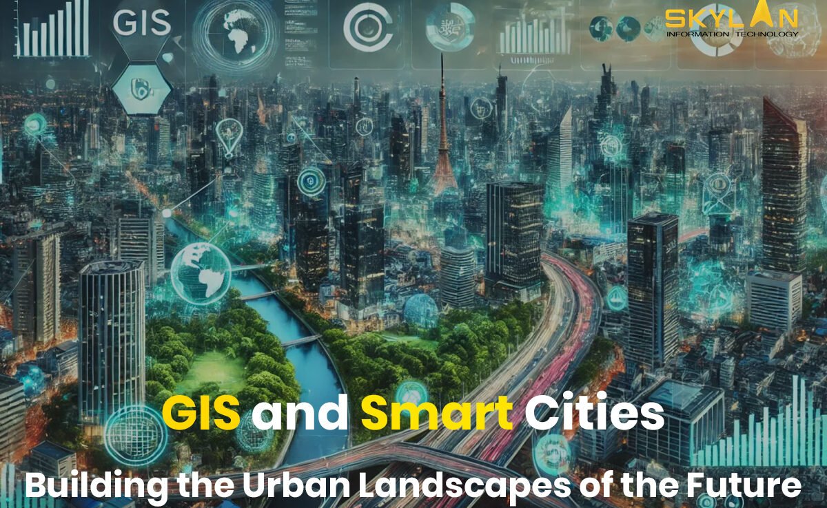
Introduction Smart cities are coming up with increasing globalisation & urbanisation. And GIS in smart cities plays a huge role. GIS is a technology that captures, manages, and analyzes geographic data for various things from city planning to environmental monitoring. GIS (Geographic Information Systems) is necessary for the development of smart cities, as it provides the foundation for more efficient, and sustainable urban management. In this post we will tell what makes a city “smart,” and explain GIS role in building these cities. And how that can improve the various aspects of urban life, like transport, public safety, and sustainability. What is a Smart City? A smart city is an urban area that uses advanced technologies to improve the quality of life for its residents, reduce environmental impact, and simplify city management. Such cities integrates digital technology, data, and connectivity to create a more responsive and efficient city that can easily adapt to the needs of people. Smart cities help in solving problems like infrastructure issues, pollution issues, and energy use, by making use of technology to make data based decisions that promote better standards of living. Core Components of a Smart City Several components define the inner workings of a smart city: The Role of GIS in Smart Cities GIS is very important for smart city operations, as it provides a spatial/geographic dimension to data that improves decision-making and visualization. It acts as a data integrator, bringing together various types of geographic data so a better analysis can be done. From tracking transportation patterns to environmental changes, GIS helps cities to visualize and analyze spatial data, and supports evidence-based decisions that make urban life more sustainable and connected. Key Applications of GIS in Smart Cities Urban Planning and Development Smart urban planning relies heavily on GIS to make informed decisions about land use, zoning, and infrastructure development. The ability to visualize data on a map makes it easier for city planners to see patterns and solve potential issues. GIS provides city planners with a completely clear picture of current land usage and helps forecast future needs. For example, GIS can lay data about population growth, environmental constraints, and economic trends, will allow planners to make decisions that will balance growth with sustainability. By optimizing land use, cities can ensure that development is efficient, reduces environmental impact, and preserves green spaces too. Managing urban infrastructure is necessary for a city’s proper functioning. GIS is needed for tracking and managing places like roads, bridges, water supply networks, and much more. By monitoring infrastructure in real-time, GIS helps authorities to identify areas that require maintenance, and preventing costly repairs and improving the quality of public services. Transportation and Mobility Efficient transportation systems are a symbol of any smart city, and GIS plays a key role in enabling intelligent transportation management. Traffic issues remains one of the biggest challenges in urban areas. GIS provides the real-time data needed to monitor and manage traffic flows, predict congestion, and implement working solutions for it. For example, smart traffic lights controlled by GIS can adjust their signals based on real-time traffic density, reducing waiting times and smoothing the flow of vehicles. GIS also enables cities to identify issues and make long-term improvements to road networks. GIS helps cities in optimizing public transit systems, which helps reduce traffic issues and lower emissions. By analyzing data patterns and travel times, GIS helps in route optimization, improved scheduling, and better placement of transit stops. Along with it, GIS helps cities to assess accessibility and ensure that public transit serves as many people as possible, encouraging a shift from private vehicles to more sustainable public transport options. Environmental Sustainability Environmental sustainability is very important for smart cities, and GIS technology helps in implementing these sustainable practices. As cities aim to reduce their carbon footprints, GIS supports energy monitoring and management by tracking electricity consumption, and point areas with high energy demand, and identifies opportunities for improvement. For example, by mapping solar panel installations or energy-efficient buildings, GIS helps cities in promoting renewable energy use. Along with it, cities can use GIS to assess green energy projects, like wind farms, so that the resources are used efficiently. Waste management is a logistical challenge, in densely populated areas. GIS helps cities to create efficient waste collection routes that will reduce fuel consumption and time spent on the road. By mapping landfill locations and monitoring waste levels, GIS helps cities optimize waste disposal and recycling works. This reduces pollution, saves resources, and contributes to a cleaner urban environment. Maintaining clean air and water is important for urban health and environmental sustainability. GIS helps cities track pollution sources and analyze air and water quality trends over time. By identifying problem areas, GIS helps cities to take targeted actions to improve environmental health. For example, during periods of high air pollution, GIS data can help authorities implement traffic restrictions or suggest alternate routes for walking people to avoid polluted zones. Public Safety and Emergency Response GIS enhances these functions by providing spatial/geographic data that supports decision-making in critical situations. Law enforcement agencies can use GIS to map crime patterns, helping them allocate resources more effectively and identify high-risk areas. By understanding where certain types of crimes occur, agencies can develop strategies to address the root causes and improve community safety. Crime mapping also enables cities to engage citizens in crime prevention efforts, building a sense of collective responsibility. In case of natural disasters, GIS help in planning and coordinating emergency response. GIS helps to identify vulnerable areas, plan evacuation routes, and allocate resources based on real-time data. By analysing disaster-prone zones, cities can also implement preventative measures to reduce the impact of future events Conclusion As urban populations grow and challenges multiply, the need for smart cities will increase. GIS plays a key role in smart city development, from urban planning to environmental monitoring, transportation to public safety. And GIS helps cities to operate more efficiently, sustainably, and transparently. In the future, the integration