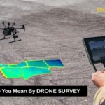
The Future of Utility Mapping with AI & GIS
In an age where technology is transforming how we live, work, and interact with the world, few sectors benefit more than city infrastructure. One of the most crucial elements in…
In an age where technology is transforming how we live, work, and interact with the world, few sectors benefit more than city infrastructure. One of the most crucial elements in modernizing infrastructure is utility mapping, and thanks to the integration of Artificial Intelligence (AI) and Geographic Information Systems (GIS), we’re entering a new era. These technologies aren’t just buzzwords they’re revolutionizing how communities are built and maintained. What Is Utility Mapping and Why Does It Matter to You Utility mapping is the process of locating and documenting critical public infrastructure think water pipes, power lines, gas conduits, sewage lines, and communication networks. Traditionally, this work relied on outdated blueprints or manual surveys. Inaccurate records led to hazardous errors digging blindly near a gas line or misplacing electrical wiring can lead to major setbacks or even dangerous incidents. Picture a construction crew starting excavation for a new school. If they don’t know a gas pipeline runs below the site, a costly or dangerous accident is just one misstep away. Utility mapping ensures that everything from simple maintenance to large-scale projects can proceed safely and efficiently. How GIS Transforms Utility Mapping GIS, or Geographic Information Systems, is essentially smart mapping. It doesn’t just store visual location data it layers it with intelligence. Think of GIS as a live dashboard where utility lines, street layouts, and maintenance records intersect in a visual format. A technician using GIS can pinpoint a faulty water line, determine its age, and access its repair history in real-time. With cloud integration, this data is shareable across departments, from city planners to emergency responders. GIS also supports community collaboration. Utility companies, local governments, engineers, and even citizens can access a central data hub, eliminating silos and boosting transparency. The Role of AI: Supercharging Smart Mapping Now add AI to the mix. Artificial Intelligence brings serious computing power to analyze patterns and predict outcomes capabilities no human can match at scale. Here’s how AI enhances utility mapping: These features eliminate guesswork and reduce costs while improving accuracy and worker safety. Real-Life Impact: How Smart Tech Prevented a City Blackout Let’s take an example from a metro city where blackouts were becoming frequent. Instead of inspecting hundreds of kilometers of power lines, the local utility company used AI to crunch historical data weather patterns, power usage spikes, and equipment failures. GIS visualized this data across the city map. The result? Technicians could identify high-risk zones and repair vulnerable points before they failed. The city saw a 60% drop in outages over six months. How AI & GIS Benefit Communities Every Day What’s Holding Back Widespread Adoption? No technology is without challenges. Implementing AI and GIS tools requires: That said, affordable cloud-based GIS systems and open-source AI platforms are reducing these barriers. A Look Ahead: Smart Cities Built on Data AI and GIS are the foundation of smart city planning. From smarter grid management to predictive water monitoring, the duo creates a shared ecosystem where decisions are based on live data. This shared insight allows municipalities, engineers, contractors, and citizens to make informed choices. As more cities embrace this tech, we’ll see improved budget planning, quicker disaster response, and better long-term infrastructure resilience. It’s Not Just About Data It’s About People At its heart, utility mapping powered by AI and GIS is about people. It’s about ensuring that a mother cooking dinner doesn’t lose access to gas because of a repair error. It’s about helping emergency teams save time and lives—by reaching the right spot quickly. It’s about reducing costs so city budgets can invest in schools, parks, and healthcare instead of repair bills. For workers in the field, smart mapping reduces physical labor and boosts safety. For planners and policymakers, it delivers the insight needed to future-proof our cities. The Big Picture: Where We’re Headed Imagine a city where every pipe, cable, and connection is not just mapped, but intelligently monitored and optimized. That future is already unfolding in places like Singapore, Amsterdam, and San Diego. These cities are leading the way with digital twins 3D virtual replicas of infrastructure, constantly updated through AI and GIS. As more Indian cities adopt similar systems, it opens the door to: Final Thoughts: Human-Driven Innovation Technology should empower, not replace. As AI and GIS become part of the backbone of utility mapping, it’s essential to center the people who make cities function technicians, planners, and citizens. By investing in skills training, community education, and accessible tools, we ensure that the benefits of this digital revolution are shared by all. Smart cities aren’t built by machines they’re built by people, guided by technology. The next time your light switches on, your tap flows clean, or your internet runs without a glitch, thank a utility worker. Behind them stand AI and GIS, quietly keeping your city running. The future of utility mapping is bright, efficient, and deeply human.
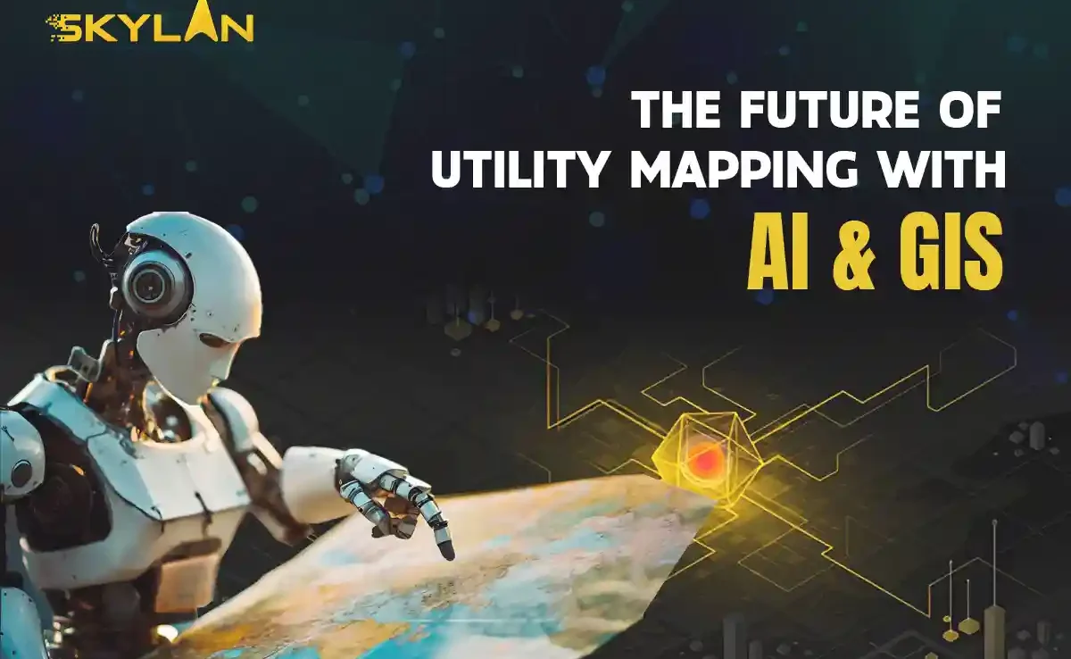
Fulfilling the current pace of technological advancement, the drone mapping services are one of the most critical assets in transforming industries from agriculture to construction. With unmanned aerial vehicles (UAVs), drones can be used to get high-resolution imagery and acquire data more quickly and efficiently, thus helping businesses with that degree of decision-making accuracy. In this guide, we discuss what drone mapping services are about, their applications, and their benefits, along with the ways drone surveying companies are improving their operations. Understanding Drone Mapping Services What Are Drone Mapping Services? Drone mapping services use UAVs equipped with high-precision cameras and sensors adapted to fit them to produce accurate maps and 3-D models. These fly over the designated areas, covering them with high-resolution images that offer a comprehensive overall view of the site, including the terrain, infrastructure, and other essential elements. It is very useful in several sectors, including construction, agriculture, forestry, and environmental monitoring. The Process of Drone Mapping Certain vital stages characterize the drone mapping services: 1. Mission planning considers what area will be captured and how best to survey such space before the UAV is ever deployed. 2. Data collection involves flying drones over a target area to collect images, video footage, and other data. Depending on project needs, these UAVs can work either autonomously or under manual control. 3. After the data is collected, the images are processed in specialized software for generating orthomosaic maps and 3D models. 4. The resultant data is then analyzed to generate insights for clients’ benefit so that they may make informed decisions with regard to the presented information. Fields of Application for Drone Mapping Services Construction and Infrastructure The construction industry uses drone mapping services mainly to perform accurate site surveys, tracking of progress, and land assessments. Construction companies can monitor activities on the job site in real-time and generate maps that help in efficient project management. The use of UAV mapping services minimizes human error and increases safety, as there is no need for workers to access hard-to-reach areas physically. Agriculture Drone mapping services are now accepted daily by farmers in the agro industry for enhancing crop management. Multispectral cameras on drones can assess plant health, monitor irrigation systems, and track pest or disease outbreaks. With UAV mapping services, farmers can make informed decisions that increase crop yield without wasting or using many resources. Environmental Monitoring Drone mapping services are essential for environmental monitoring with real-time collection and analysis of ecosystem data. They can also cover vast areas of image acquisition for wildlife population monitoring and changing land-use patterns. Such information is of paramount importance for conservation and environmental assessment. Real Estate In real estate, drone mapping services provide breathtaking aerial data that bolsters property listings. UAV-based mapping and 3D modeling help real estate agents lure potential buyers by providing distinct perspectives unavailable to traditional photography. With cutting-edge technologies, realtors can distinguish their listings in a highly competitive market. Mining and Land Use Exploration, site planning, and day-to-day operational surveillance make the use of drone mapping services by mining companies indispensable. Topographic maps produced by drones are accurate enough for the necessary data on mineral deposits and land use. Their efficiency and safety in the more hazardous environments make it all the more possible for the reduction of operational risk. Benefits of Drone Mapping Services Cost Effectivity The first-listed benefit of drone mapping services is their cost effectiveness. Drones need fewer resources and personnel in comparison to the conventional mapping methods. Hence it becomes an economical option for the businesses. Besides, UAVs are able to cover great expanses of land in a fraction of the time as compared to ground mapping methods. Higher Accuracy Drones with high-resolution cameras and advanced sensors yield extremely accurate mapping results. They are capable of collecting data at different angles and heights, and thus avoid many human errors, ensuring better quality data and more valuable insights into the businesses. Time Savings The work is done well in drone mapping services from the aspect of promptness. A site survey which can take days or even weeks by normal means can be complete in a matter of hours with drones. Swift data acquisition allows companies speedily to make decisions and stick to the project timeline. Safety First Safety should be preserved more with drone mapping services since it reduces personnel operating in unsafe zones. A drone can operate even some of the most difficult terrains and provide data without putting personnel in danger. Choosing the Right Drone Surveying Company While considering different factors when opting for a drone surveying company for drone mapping services: Experience and Expertise It’s important to select an industry-experienced company with an operational history providing drone mapping services. Search for testimonials, case studies, and reviews to assess the capabilities of potential partners. Equipment and Technology The impact of technology on data collection dimensions has included the extent to which it cushions and protects data collected. Choose an enterprise that has the latest UAVs, cameras, and processing software to ensure that you receive optimal outputs when utilizing drone surveying services. Regulatory Compliance Lastly, it is essential to check if the drone surveying firm complies with local regulations and possesses the necessary licenses for commercial drone operations. This aspect is critical for safety and legality. Service Range Different companies provide varying services in this respect. So, know what you specifically need, be it aerial imagery, 3D modeling, or data analysis, and choose the right company. Bringing Together Drone Mapping with GIS- GIS Technology Geographic Information Systems (GIS) are very much involved in maximizing profit from the potential of drone mapping services. UAV data coupled with GIS creates organizations that deliver a detailed geospatial analysis. This combination enables insight by overlaying many various data types, geotagging assets, and managing geographic data. Applications of GIS with Drone Mapping Integrating drone mapping services with GIS permits diverse applications such as those linked to urban planning, environmental assessments, and disaster relief operations. Such one would empower interested parties
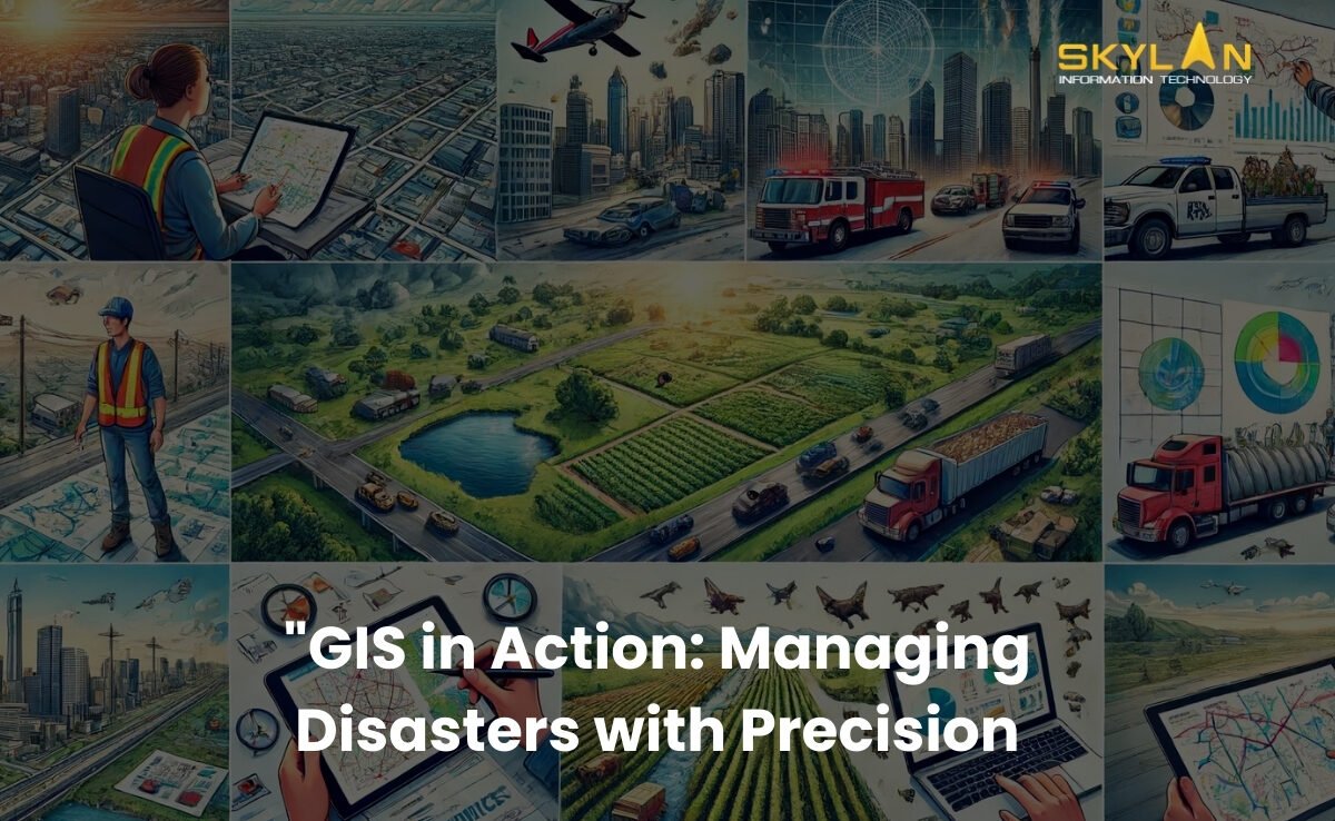
Introduction Disasters like earthquake, cyclones, tsunami and landslides regularly displacing thousands of families and lead to billions in damages. Such events show the critical need for effective disaster management so that lives can be saved and damages can be reduced. Geographic Information Systems (GIS) have emerged as an important tools in this space. By providing real-time insights and helping in strategic planning, GIS helps communities prepare for, respond to, and recover from disasters more efficiently. In this blog we will tell how GIS works in disaster management, its applications during different phases of the disaster, real-world examples of it, the challenges of implementation, and its promising future. The Role of GIS in Disaster Management What is GIS? Geographic Information Systems (GIS) is a technology that is capable of capturing, analyzing, and visualizing spatial/geographic data. It integrates location-based information such as maps, satellite imagery, and demographic data to provide actionable insights. GIS is widely & regularly used in various fields, like environmental conservation, urban planning, and disaster management. In the context of disaster management, GIS offers tools to analyze risks, maps affected areas, and coordinate responses timely. Whether it’s mapping flood effected zones or tracking wildfire spread in real time, GIS provides a powerful platform for making informed decisions in most of the cases. Why is GIS Crucial in Disaster Management? Disasters are completely unpredictable, and that makes them challenging to manage. Major hurdles include predicting patterns of disaster, coordinating relief efforts, and assessing damage efficiently. Traditional methods mostly rely on manual processes, which are very slow and also prone to errors. GIS covers this gap by offering: Accurate Predictions: GIS tools analyze historical and environmental data to predict disaster-prone areas. Effective Coordination: By visualizing real time data, GIS ensures that emergency teams and resources are directed to areas that need immediate help. Comprehensive Damage Assessment: GIS quickly evaluates the extent of damage, speeding up recovery efforts. Applications of GIS in Different Phases of Disaster Management Pre-Disaster (Preparedness and Mitigation) Risk Assessment and Hazard Mapping GIS identifies vulnerable areas by analyzing data on terrain, population density, and climate patterns. For instance, it can map flood-prone zones, helping authorities develop strategies to reduce risks. Disaster Planning With GIS, emergency planners can design evacuation routes, position emergency resources like shelters, and conduct disaster simulations to test preparedness. This ensures a quick and effective response when disaster strikes. Public Awareness and Education GIS-powered interactive maps educate communities about disaster risks. For example, residents can use online maps to see if their homes lie in earthquake or flood zones, helping them prepare better. During Disaster (Response) Real-Time Data Collection and Analysis GIS integrates live data from satellites, drones, and sensors to offer real-time insights. This helps first responders assess the disaster’s impact and prioritize rescue efforts. Resource Allocation By identifying areas most affected, GIS ensures resources like food, water, and medical supplies are distributed efficiently. It minimizes wastage and ensures help reaches those who need it most. Coordination of Emergency Services GIS facilitates seamless communication among emergency teams. Whether it’s fire services, police, or medical teams, GIS helps synchronize efforts, reducing response times and saving lives. Post-Disaster (Recovery and Reconstruction) Damage Assessment GIS tools analyze satellite images and ground reports to assess the extent of damage to infrastructure, homes, and the environment. This data is critical for planning recovery efforts. Reconstruction Planning By using GIS data, planners can rebuild communities in safer and more resilient ways. For instance, flood-resistant housing can be designed in areas prone to heavy rainfall. Long-Term Monitoring Even after recovery, GIS continues to monitor the affected areas for environmental changes and potential risks. This ensures sustained support for impacted communities. Real-World Examples of GIS in Disaster Management Hurricane Response During Hurricane Harvey in 2017, GIS played a critical role. Authorities used GIS to map flooded areas, plan evacuation routes, and track rising water levels. This improved response times and minimized casualties. Earthquake Preparedness Japan, a country prone to earthquakes, uses GIS extensively for disaster management. Risk maps created using GIS guide construction efforts and emergency planning, ensuring structures can withstand tremors. Wildfire Management In California, GIS is instrumental in managing wildfires. Real-time data on wind direction, vegetation, and fire spread helps firefighting teams strategize and deploy resources effectively. Challenges and Limitations of Using GIS in Disaster Management Data Accuracy and Availability GIS relies on accurate and timely data. In disaster scenarios, gathering high-quality data can be challenging due to damaged infrastructure and inaccessible areas. Technical and Financial Constraints Implementing GIS requires advanced technology and skilled professionals, which can be expensive. Developing countries often face difficulties adopting GIS due to limited resources. Privacy and Security Concerns Using GIS to track populations and resources raises privacy issues. It’s essential to balance efficient disaster management with ethical considerations regarding data use. The Future of GIS in Disaster Management Emerging Technologies GIS is evolving rapidly with the integration of Artificial Intelligence (AI), Machine Learning (ML), and the Internet of Things (IoT). These technologies enhance GIS capabilities, allowing for better disaster prediction and response. Global Collaboration As disasters affect multiple countries, GIS fosters international cooperation. For instance, organizations like the United Nations use GIS to coordinate disaster relief efforts across borders, ensuring a unified response. Continuous Improvement With the frequency and complexity of disasters increasing, GIS technology must keep evolving. Ongoing innovation will ensure that GIS remains a reliable tool in building disaster-resilient communities. Conclusion GIS has revolutionized disaster management and emergency response by providing real-time insights, streamlining resource allocation, and improving coordination among emergency services. Its applications in all disaster phases—pre-disaster, during disaster, and post-disaster—show how invaluable it is in saving lives and reducing damage. As technology advances, the potential of GIS will continue to grow, offering new ways to tackle the challenges of disaster management. If you work in disaster management or related fields, now is the time to explore how GIS can transform your strategies. Together, we can use this powerful tool to build safer, more resilient communities prepared to face the
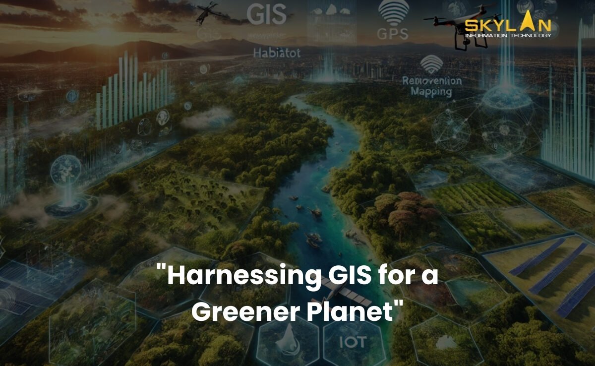
Introduction Did you know that every minute, there is deforestation or some form of environmental damage happening globally? This increasing rate of environmental damage shows the immediate need for effective conservation measures. As global ecosystems face increasing threats from deforestation, climate change, and pollution, Geographic Information Systems (GIS) have come up as an important tool for environmental conservation. GIS helps researchers, and policymakers, to collect, analyze, and visualize complex data, that helps in making smarter decisions and better resource management. In this blog, we’ll discuss about the role of GIS in environmental conservation, and its key applications, the challenges it faces, and its potential in coming future. Let us understand how this technology is shaping the future of preserving natural ecosystems and promoting sustainability. The Role of GIS in Environmental Conservation What is GIS? Geographic Information Systems (GIS) is a technology that is used to captures, stores, analyzes, and visualizes geographic and spatial data. It is like a digital tool that creates highly detailed maps and models that help in understanding various landscapes of various places on earth and processes occurring on our planet better. By combining various layers of data, GIS provides information about complex relationships between the natural resources, human activities, and environmental changes. Why environmental conservation needs GIS? Environmental conservation efforts are often stopped by challenges like incomplete data, difficulties in analyzing large datasets, and the inability to visualize changes over time. GIS solves all these issues by providing a powerful platform to: Key Applications of GIS in Environmental Conservation 1. Habitat Mapping and Wildlife Management One of the most important applications of GIS in environmental conservation is its use in mapping and monitoring habitats. For example: 2. Deforestation and Land Use Monitoring Deforestation is a major reason for climate change and biodiversity loss. GIS helps in solving this issue by: 3. Water Resource Management Water is a very important resource, and its management is essential for both human and ecological health. GIS contributes to water conservation by: 4. Climate Change Analysis In present times climate change is one of the major problems that is present globally. And GIS plays a key role in understanding and addressing its impacts by: 5. Pollution Tracking and Mitigation Pollution affects air, water, and soil, harming ecosystems and human health. GIS helps mitigate these effects by: Challenges in Using GIS for Conservation Even though there are many benefits, using GIS in environmental conservation has its own set of challenges: Accurate data is the backbone of GIS, but in remote or underdeveloped regions obtaining reliable information can be difficult. Because of which gaps in data can lead to wrong analyses and ineffective conservation strategies. GIS tools require skilled and experienced professionals for operating them effectively. Analyzing and interpreting GIS data requires a thorough understanding of both technology and environmental science, which can be a barrier for some organizations. In some cases, implementing GIS technology can be expensive. As it requires acquiring software and hardware to hiring trained personnel, the financial and logistical requirements are significant, especially for large-scale conservation projects. The Future of GIS in Environmental Conservation The future of GIS in conservation of environment looks promising, with several trends and advancements happening in GIS that will only strengthen its capabilities: 1. Technological Advancements Emerging technologies are making GIS capabilities better & more powerful. Those technologies are: 2. Collaborative Efforts GIS is helpful in creating collaboration among governments, NGOs, and local communities. By sharing data and important insights, these groups can work together to address all types of environmental conservation challenges more effectively. 3. Achieving Sustainability Goals GIS is an extremely powerful tool for achieving various goals of global sustainability. By guiding efforts to protect biodiversity, tackle climate change, and manage natural resources sustainably, GIS is helping to build build a greener future. ConclusionGIS (Geographic Information Systems) is transforming the way we approach environmental conservation. From mapping wildlife habitats to tracking pollution and analyzing climate change, GIS provides the data based information that is needed to protect our planet. While challenges like data availability, technical expertise, and implementation costs remain, the future of GIS looks bright, because of the technological advancements and collaborative efforts. As individuals, we can also play a role in conservation of our environment by supporting initiatives that use GIS to protect our natural resources. To summarise, we can use the power of technology to ensure a healthier, more sustainable planet for future generations to come.
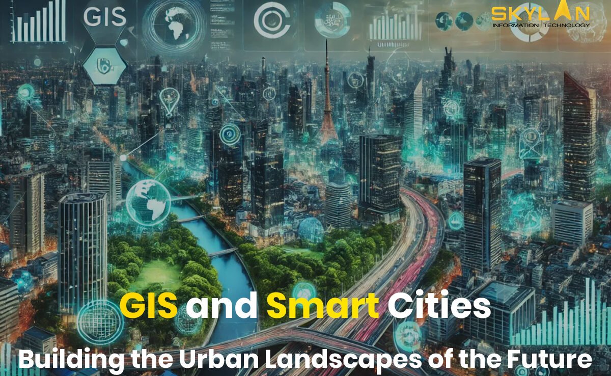
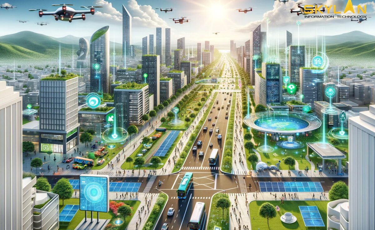
Introduction Smart cities are coming up with increasing globalisation & urbanisation. And GIS in smart cities plays a huge role. GIS is a technology that captures, manages, and analyzes geographic data for various things from city planning to environmental monitoring. GIS (Geographic Information Systems) is necessary for the development of smart cities, as it provides the foundation for more efficient, and sustainable urban management. In this post we will tell what makes a city “smart,” and explain GIS role in building these cities. And how that can improve the various aspects of urban life, like transport, public safety, and sustainability. What is a Smart City? A smart city is an urban area that uses advanced technologies to improve the quality of life for its residents, reduce environmental impact, and simplify city management. Such cities integrates digital technology, data, and connectivity to create a more responsive and efficient city that can easily adapt to the needs of people. Smart cities help in solving problems like infrastructure issues, pollution issues, and energy use, by making use of technology to make data based decisions that promote better standards of living. Core Components of a Smart City Several components define the inner workings of a smart city: The Role of GIS in Smart Cities GIS is very important for smart city operations, as it provides a spatial/geographic dimension to data that improves decision-making and visualization. It acts as a data integrator, bringing together various types of geographic data so a better analysis can be done. From tracking transportation patterns to environmental changes, GIS helps cities to visualize and analyze spatial data, and supports evidence-based decisions that make urban life more sustainable and connected. Key Applications of GIS in Smart Cities Urban Planning and Development Smart urban planning relies heavily on GIS to make informed decisions about land use, zoning, and infrastructure development. The ability to visualize data on a map makes it easier for city planners to see patterns and solve potential issues. GIS provides city planners with a completely clear picture of current land usage and helps forecast future needs. For example, GIS can lay data about population growth, environmental constraints, and economic trends, will allow planners to make decisions that will balance growth with sustainability. By optimizing land use, cities can ensure that development is efficient, reduces environmental impact, and preserves green spaces too. Managing urban infrastructure is necessary for a city’s proper functioning. GIS is needed for tracking and managing places like roads, bridges, water supply networks, and much more. By monitoring infrastructure in real-time, GIS helps authorities to identify areas that require maintenance, and preventing costly repairs and improving the quality of public services. Transportation and Mobility Efficient transportation systems are a symbol of any smart city, and GIS plays a key role in enabling intelligent transportation management. Traffic issues remains one of the biggest challenges in urban areas. GIS provides the real-time data needed to monitor and manage traffic flows, predict congestion, and implement working solutions for it. For example, smart traffic lights controlled by GIS can adjust their signals based on real-time traffic density, reducing waiting times and smoothing the flow of vehicles. GIS also enables cities to identify issues and make long-term improvements to road networks. GIS helps cities in optimizing public transit systems, which helps reduce traffic issues and lower emissions. By analyzing data patterns and travel times, GIS helps in route optimization, improved scheduling, and better placement of transit stops. Along with it, GIS helps cities to assess accessibility and ensure that public transit serves as many people as possible, encouraging a shift from private vehicles to more sustainable public transport options. Environmental Sustainability Environmental sustainability is very important for smart cities, and GIS technology helps in implementing these sustainable practices. As cities aim to reduce their carbon footprints, GIS supports energy monitoring and management by tracking electricity consumption, and point areas with high energy demand, and identifies opportunities for improvement. For example, by mapping solar panel installations or energy-efficient buildings, GIS helps cities in promoting renewable energy use. Along with it, cities can use GIS to assess green energy projects, like wind farms, so that the resources are used efficiently. Waste management is a logistical challenge, in densely populated areas. GIS helps cities to create efficient waste collection routes that will reduce fuel consumption and time spent on the road. By mapping landfill locations and monitoring waste levels, GIS helps cities optimize waste disposal and recycling works. This reduces pollution, saves resources, and contributes to a cleaner urban environment. Maintaining clean air and water is important for urban health and environmental sustainability. GIS helps cities track pollution sources and analyze air and water quality trends over time. By identifying problem areas, GIS helps cities to take targeted actions to improve environmental health. For example, during periods of high air pollution, GIS data can help authorities implement traffic restrictions or suggest alternate routes for walking people to avoid polluted zones. Public Safety and Emergency Response GIS enhances these functions by providing spatial/geographic data that supports decision-making in critical situations. Law enforcement agencies can use GIS to map crime patterns, helping them allocate resources more effectively and identify high-risk areas. By understanding where certain types of crimes occur, agencies can develop strategies to address the root causes and improve community safety. Crime mapping also enables cities to engage citizens in crime prevention efforts, building a sense of collective responsibility. In case of natural disasters, GIS help in planning and coordinating emergency response. GIS helps to identify vulnerable areas, plan evacuation routes, and allocate resources based on real-time data. By analysing disaster-prone zones, cities can also implement preventative measures to reduce the impact of future events Conclusion As urban populations grow and challenges multiply, the need for smart cities will increase. GIS plays a key role in smart city development, from urban planning to environmental monitoring, transportation to public safety. And GIS helps cities to operate more efficiently, sustainably, and transparently. In the future, the integration
Introduction The concept of smart cities is rapidly changing the way urban spaces are designed and managed. Smart cities use technology to improve everything from transportation to energy usage, improving the quality of life for residents while reducing the environmental impact. But all this can’t happen without the use & help of GIS (Geographic Information Systems). GIS is not just limited to digital maps, it’s a complete system that helps capture, analyze, and visualize geographic data. For smart cities, GIS helps in planning, implementing, and managing urban infrastructure and services. In this blog, we discuss the role of GIS in smart cities, and how it’s used to address urban challenges, and its’ potential to shape the future of urban development. Understanding GIS and Smart Cities Geographic Information Systems (GIS) is a technology that helps in capturing, storing, analyzing, and visualizing geographic data. This data can be anything related to a location, such as roads, buildings, vegetation, or even population density. What makes GIS unique is it allows users to see patterns, relationships, and trends. For example, a city planner can use GIS to map out the locations of schools, hospitals, and public parks in a city, and then analyze how well these services are distributed across different neighborhoods. This helps in making informed decisions about where new infrastructure should be built to meet the needs of the population. A smart city uses technology and data to improve urban services, and makes them more efficient, sustainable, and responsive to the needs of residents. Key features of smart cities include sustainability, efficiency, and use of technology like sensors, IoT, and big data analytics to monitor and manage urban services. Smart cities aim to solve common urban problems like traffic issues, pollution, and inefficient energy use. By collecting and analyzing data in real-time, these cities can make in decisions that will surely improve daily life for their citizens. Smart city technologies can include smart grids for energy management, intelligent transportation systems, and real-time air quality monitoring. GIS is necessary for making smart cities because it helps in combining and analysing huge amounts of geographic data from various sources. This c data is used to create detailed maps and models that help in urban planning, infrastructure management, environmental monitoring, and more. In smart cities, GIS helps authorities to visualize and improve the layout of city. GIS allows city planners and decision-makers to analyze how different parts of the city interact, from traffic patterns to the availability of green spaces, and makes data-driven decisions that improve the urban environment. Applications of GIS in Smart City Development GIS plays a key role in urban planning by providing detailed maps and data that help city planners to make informed decisions. Planners can use GIS to create 3D models of buildings, roads, and infrastructure, which helps in visualizing future developments. For example, GIS can show how a new housing development will affect traffic patterns or how close it is to places like hospitals and schools. This will ensure that cities grow in a planned and organized way, and overcrowding is avoided. Urban infrastructure like that of roads, and public services, can be monitored and managed e with GIS. By mapping the location of water pipes, electrical grids, and transportation networks, city authorities can monitor their condition in real-time and plan maintenance more efficiently. GIS also helps in optimizing resources by identifying areas where new infrastructure is needed and avoids costly overlaps or delays. Managing traffic is a major challenge in cities. GIS helps in analyzing traffic patterns, planning public transportation routes, and reducing congestion. By laying down traffic data on a city map, authorities can identify best routes for buses, trains, and other public transports. This also reduces emissions and energy consumption by promoting more efficient transport systems. Smart cities prioritize sustainability, and GIS plays an important role in achieving this. GIS is used to monitor pollution levels, manage natural resources, and track environmental changes. For example, GIS can map out areas that are at risk of flooding or deforestation, thereby helping cities to plan for and reduce its harmful environmental impacts. It’s also used to monitor air quality and ensure that cities meet their sustainability goals. In smart cities, GIS improves public safety by improving emergency preparedness and response. Real-time data from sensors, cameras, and GPS devices is fed into GIS systems to provide a clear picture of an emergency. This allows emergency services to plan the fastest routes, identify the most affected areas, and coordinate resources more effectively, eventually saving lives and reducing damages. Challenges and Considerations One of the biggest challenges in implementing GIS in smart cities is integrating diverse data sources. Cities generate huge amount of data, bringing all this data together into a single GIS system requires careful planning and coordination. The quality of the data also matters; inaccurate or outdated data can lead to flawed decisions. With the increased use of geographic data in smart cities, privacy and security concerns becomes important. GIS systems collect large amounts of location based data, this data could be used to track sensitive information of individuals. So it is extremely important that this data is securely stored and managed. Implementing GIS technology can be expensive, especially in small or developing cities. The cost of acquiring and maintaining GIS software, hardware, and skilled labours is high. And sometimes lack of technical experts in small cities can also limiting its accessibility. The Future of GIS in Smart Cities The future of GIS in smart cities is getting influenced by Artificial Intelligence, Machine Learning, and the Internet of Things (IoT). These technologies are making GIS more powerful and efficient. As smart cities develop, the ability to analyze real-time data will become more important. This will allow cities to respond to problems more quickly and make data-driven decisions on the fly. Another trend is the use of 3D mapping in GIS. Conclusion GIS is playing a key role in shaping future of smart cities. It provides the data and
It’s not easy to navigate a new city without Google Maps or finding the fastest route home without a GPS. Maps are very important tools in our daily lives. Whether it’s planning a road trip or monitoring the environment, geographic information is required everywhere. This is where GIS, or Geographic Information Systems, comes in. It’s a powerful technology that helps us make sense of geographic data and is used in many industries, from urban planning to business logistics. In this blog, we will tell about GIS in simple terms, explain its basic concepts, applications, and how you can get started. By the end of this guide, you will understand the components of GIS, its importance, and the steps you can take to explore this exciting field. 1. What is GIS? Geographic Information Systems (GIS) is a system that captures, stores, analyzes, and visualizes geographic data. Think of it as a way to understand and work with data that is linked to a specific location on the Earth. For example, GIS can help us map traffic patterns, analyze population growth, or study environmental changes. GIS takes information about places, such as coordinates or addresses, and links it with data about what is happening at those places like the population size or land use. This information is collected from various sources, including satellites, surveys, and GPS devices. GIS software then processes this data, allowing us to view it on maps and analyze it. By doing so, we can see patterns, make decisions, and solve problems related to geography. GIS is important in today’s world because it helps us make sense of complex geographic data. From government planning to environmental conservation, GIS is used for making correct decisions. For example, city planners use GIS to design infrastructure, while environmental scientists use it to track wildlife habitats. Businesses also depend on GIS to improve delivery routes, find the best locations for new stores, and study ongoing market trends. 2. Key Components of GIS GIS is made up of several important components that work together to collect, process, and display geographic data. These components include hardware, data, software, people, and methods. Hardware means the physical tools/equipment needed to run a GIS, like servers, computers, and GPS devices. These devices are used for collecting geographic data like a GPS recording the location of a place and store it for further analysis. GIS software are the tool that processes and analyzes the collected data. There are several types of GIS software available, with some of the most popular ones being ArcGIS, QGIS, and Google Earth. These software allow users to input geographic data, run analyses, create maps, and visualize the results. ArcGIS is widely used for advanced GIS applications, while QGIS is a free, open-source option that’s great for beginners. GIS data comes in two forms one is spatial data and other is attribute data. Spatial data includes information about where things are, such as coordinates, boundaries, or roads on a map. Attribute data provides additional information about those places, like population density, land use, or rainfall levels. Together, these types of data give a complete picture of geographic areas. People are an important part of GIS. Skilled professionals, such as GIS analysts, gather and analyze geographic data to solve problems and make decisions. They use their expertise to interpret the data and create meaningful solutions, whether it’s for city planning, environmental management, or disaster response. Methods refer to the techniques and processes that are used for collect, analyzing, and presenting GIS data. This can involve using GPS devices to record locations, running spatial analysis to find patterns, or using remote sensing to monitor environmental changes. Each method plays an important role in making GIS effective. 3. Common Applications of GIS GIS is used in a variety of fields and industries to improve decision-making and solve real-world problems. Some common applications include urban planning, environmental management, disaster management, and business analytics. 4. Getting Started with GIS If you’re new to GIS and want to explore this field, there are several steps you can take to get started. 5. Challenges and Tips for Beginners Like any technology, learning GIS comes with its challenges, but with persistence and the right resources, you can overcome them. 6. The Future of GIS Conclusion In this blog, we’ve covered the basics of GIS, its key components, and how it’s used in different industries. Whether you’re interested in urban planning, environmental conservation, or business analytics, GIS offers valuable tools to understand and analyze geographic data. If you’re interested in field of GIS, start by choosing a GIS software, learning the basics through online courses, and trying out beginner projects. GIS is becoming increasingly important in many industries, and by gaining skills in this area, you’ll be prepared to solve real-world problems and explore exciting career opportunities.