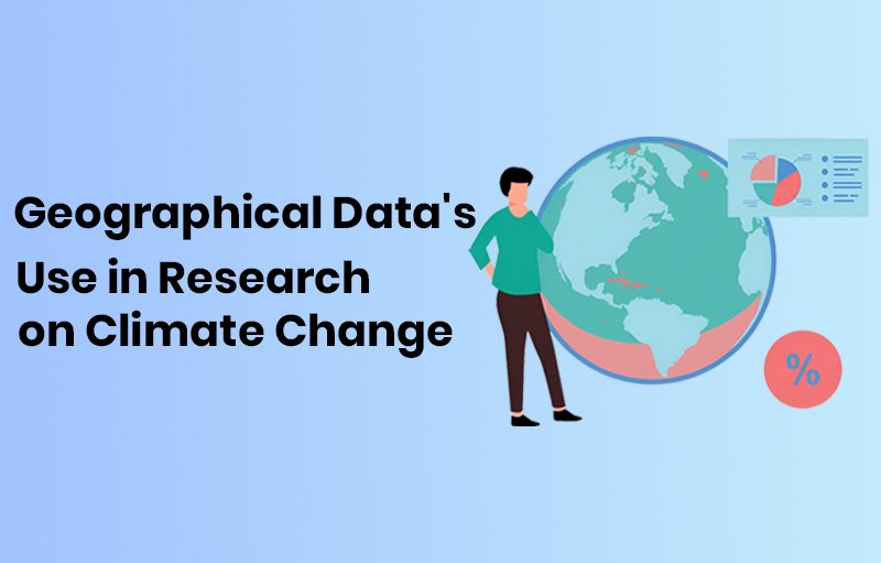
Currently, one of the most urgent issues is climate change. The challenges posed by climate change call for creative answers. The use of geospatial data is essential to understanding these intricacies.
This post examines the various ways that geospatial data which includes satellite data, GIS technology, spatial analysis, and more contributes to our understanding of climate science.
What is Geospatial Data?
It refers to information that describes characteristics and actual location of Earth’s features. The benefit of geospatial data is that it is easily accessible in real time, allowing researchers to keep up with changing weather patterns. This temporal component turns out to be crucial, particularly in a society where prompt and informed reactions are required due to rapid environmental shifts.
Geospatial data is the foundation of analysis in the context of climate change research since it provides accurate location information and captures subtle differences across landscapes. The interactions between environmental variables—ranging from variations in temperature to shifts in land use—are carefully documented in the geospatial domain.
What are various types of Geospatial Data?
Geographical data comes in a variety of forms, each with a special application. These kinds of data provide unique insights into the study of climate change, improving our capacity to assess, forecast, and adapt to changes in the environment.
Raster Data:
Raster data is organized into a grid of pixels that displays variables like temperature, precipitation, and land cover that are continuous. Its ability to portray gradual variations is crucial for monitoring climate changes over time and space. Raster data includes images from satellites, drones and various other camera sensors.
Vector Data:
Vector data uses a combination of points, lines, and polygons to define its spatial properties.. For showing distinct entities like boundaries, roads, and infrastructure, it is perfect. Vector data is useful for creating adaptation tactics and locating susceptible locations in climate studies.
Climate Science and GIS Technology
Geographic Information Systems (GIS) technology allows the mapping, processing, and display of geographical data, which is beneficial to climate science. In climate research, GIS is used to guide decisions about resource management, disaster preparedness, and environmental conservation.
In addition to making mapping and visualization easier, GIS makes it possible to analyze geospatial data in a comprehensive way. GIS acts as a compass in the huge ocean of climate research, helping to locate climatic hotspots and evaluate the effects of environmental changes.
GIS is being used in climate studies outside of academic settings. GIS is used in urban planning to help create climate-resilient cities. GIS aids in anticipating and reducing the effects of extreme weather events in disaster management. These uses highlight the revolutionary potential of GIS technology in creating a future that is climate resilient.
Environmental Mapping
Visual representations of geographical data, such as maps that beautifully depict environmental changes, best showcase its power. Geospatial data-driven environmental mapping creates precise and perceptive depictions of how ecosystems are affected by climate change.
Consider a map that shows how urbanization is encroaching on formerly unspoiled areas. These maps can be used by environmentalists and legislators to support conservation initiatives by highlighting the pressing need for sustainable land-use practices. These maps’ visual appeal resonates with a wider audience and motivates group action outside of the scientific community.
Satellite Data for Research on Climate
High-orbiting satellites are essential for giving a worldwide view on changes connected to climate change. These satellites, which are fitted with cutting-edge sensors, record vital data such as changes in sea level, rates of deforestation, and temperature fluctuations. Comprehensive, large-scale observations are made possible by the combination of satellite data with climate studies, which deepens our understanding of the complex interactions between Earth’s systems.
Take the monitoring of polar ice melt using satellite data, for example. Scientists are able to monitor the polar ice caps’ decline, which provides vital information for climate models that forecast increasing sea levels. This practical use demonstrates how crucial satellite data is to determining how we will respond to climate change.
Spatial Analysis in Climate Research
Advanced spatial analysis methods are needed to reveal the hidden patterns in geospatial data. By using techniques like overlay analysis, clustering, and interpolation, scientists can learn more about how climate-related occurrences are distributed geographically.
Think about using geographic analysis to forecast the distribution of vector-borne illnesses that are impacted by climate change. Researchers can avert possible health crises that climate change may intensify by proactively implementing targeted therapies based on an analysis of the geographic distribution of these diseases. Thus, spatial analysis becomes one of our most important tools in the fight against the negative effects of climate change on human health.
New developments in real-time data collecting have been brought about by technological advancements in climate monitoring. Sensors and Internet of Things (IoT) devices are constantly sending in data on the weather and air quality. This technology enables a dynamic system for monitoring and reacting to changes in our climate when it is seamlessly combined with geographical data.
Geographical Approaches to Climate Change
Climate studies heavily rely on solutions like remote sensing technology, which operate from a distance using satellites or aircraft. Remote sensing provides important information for comprehending the effects of climate change, from tracking the polar ice caps to evaluating the health of the vegetation.
A powerful collection of geospatial solutions to address climate change concerns is formed by the convergence of GIS, satellite systems, and advanced mapping technologies. These solutions provide a full plan of action, from vulnerability mapping to the development of focused mitigation and adaptation plans
Conclusion
By working together and using the knowledge gained from geospatial data, we can overcome the obstacles posed by climate change and prepare the way for a resilient and environmentally conscious future.