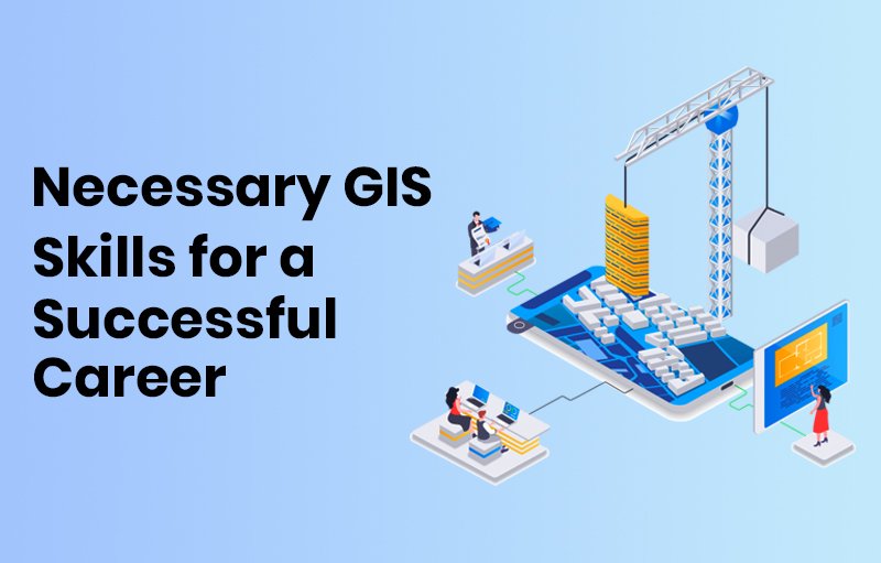
GIS skills are becoming more and more valuable in today’s dynamic labor market, and finding use in a wide range of industries. It is important that you acquire the necessary abilities, whether you plan to make a career in GIS or not.
Professionals in geographic information systems (GIS) are necessary in a variety of businesses for their work in mapping, evaluating spatial data, and resolving challenging issues. It is necessary to grasp fundamental GIS skills if you want to succeed in this fast-paced sector.
Developing specialized competencies can improve your career prospects and make you a sought-after professional in the geospatial business, regardless of your role—GIS developer, analyst, or technician.
Identifying the Most in-demand GIS skills
The field of GIS is vast and sometimes unclear. A user may wonder what matters and what doesn’t. Let’s discuss the fundamental GIS skills you’ll need to function in this flexible profession.
Technical expertise:
Using GIS software, such as QGIS and Esri, among others, is the first essential skill for GIS experts. This skill has a lot to teach us. concentrating not just on GIS software but also on other work-assisting technologies and automation systems. Among many other things, you can concentrate on spatial analysis, data visualization, and manipulation. Technical abilities that are also important include learning how to create spatial datasets and understanding a variety of data formats.
Analytical Thinking in geographical data:
Professionals in GIS that are successful have developed their critical thinking abilities with reference to geographical data. To make judgments and resolve challenging spatial issues, they are able to examine spatial data and imagery. Professionals in geographic information systems (GIS) are adept at identifying patterns, trends, and relationships in spatial data and can interpret this information to make deft decisions. They can display and analyze data using GIS technology, and they can use the data to make informed decisions.
3. Flexibility:
Considering how quickly GIS methods change, flexibility is essential for GIS practitioners. To have a deeper comprehension of the patterns and relationships in the environment around them, they must be able to use spatial data.
Analyzing skills:
To guide decisions and solve problems, GIS developers require excellent analytical abilities to understand and analyze spatial information and imagery. Data interpretation, analysis, and presentation to GIS and non-GIS users are the responsibilities of developers. In the field of GIS, they should possess strong talents.
5. Good Communication skills:
In a GIS job, effective communication is essential. Effective communication skills and a wide understanding of management principles enable GIS specialists to manage projects effectively and provide decision-makers with strategically important information.
6. Innovation:
One soft skill that might help GIS developers is creativity. It enables them to take an inventive approach to problem-solving and geographical data display.
The Most important Skills for GIS Developers
The skill requirements for GIS developers are slightly higher than those for a typical GIS user role.
Esri is the most frequently used skill set among GIS developers, with C++ and ArcGIS Server following closely.
Ideally, a variety business elements, including industry, environment, and personal experience, influence the skills needed. Along with the previously mentioned skills, the following are also highly looked after skills;
- Management of Databases and SQL
- Languages Used for Programming: Python, Java, R
- Web Mapping
- Artificial Intelligence and Machine Learning
- Geospatial Intelligence
- Management of Spatial Data
Furthermore, the GIS business places a great priority on the soft skills covered above.
The Benefits of GIS Knowledge in Education
With the help of GIS, students can create maps, infographics, and web mapping apps while also developing critical spatial thinking, problem-based learning, and media fluency. It also fosters in pupils an interest and a drive for lifelong learning in the field of GIS education.
GIS is a valuable tool that teachers can use to support students’ growth in critical thinking, problem-solving, and spatial literacy. Because GIS allows students to acquire, analyze, and visualize data to have a better understanding of their surroundings, it also promotes students to become engaged citizens.
The use of education to develop GIS Skills
The dynamic aspect of GIS, which is always changing in sync with technology improvements, is what makes it so essential. Through hands-on learning, students develop a continuous improvement attitude that serves as a compass in the ever-changing world of GIS technologies.
This kind of thinking turns into a motivating factor that helps students stay on top of trends, accept new technology, and adjust to the changing needs of the GIS sector.
Students improve their critical thinking abilities through practical projects, growing in their capacity to analyze challenging geographic problems and come up with creative solutions. This method converts ideas into practical abilities, creating the groundwork for skilled GIS specialists.
If someone wants to work in the geospatial industry, mastering the fundamentals of GIS is vital. To stay ahead in this dynamic and quickly changing industry, GIS experts need to constantly improve their technical proficiencies as well as their critical thinking abilities.
Conclusion
By developing these GIS skills, GIS professionals can make an important contribution to the evolution of geographic information systems and succeed in their current roles while having an important impact on a variety of industries and sectors.