SKylanIT

Drone Survey

Drone surveys by SkylanIT require the use of an unmanned aerial vehicle (UAV) to collect airborne data using LIDAR payloads and downward-facing sensors like RGB or multispectral cameras. An RGB camera is used to take many pictures of the ground at various angles during the survey. And each photo is geotagged with coordinates.


Drones can fly at significantly lower heights, which speeds up, lowers the cost, and allows for the generation of high-resolution, high-accuracy data regardless of atmospheric factors like cloud cover.

Our Drone Survey Benefits
In which things we use drone survey

How we do our drone survey?

Checking these things before starting Survey
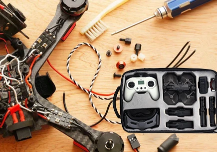
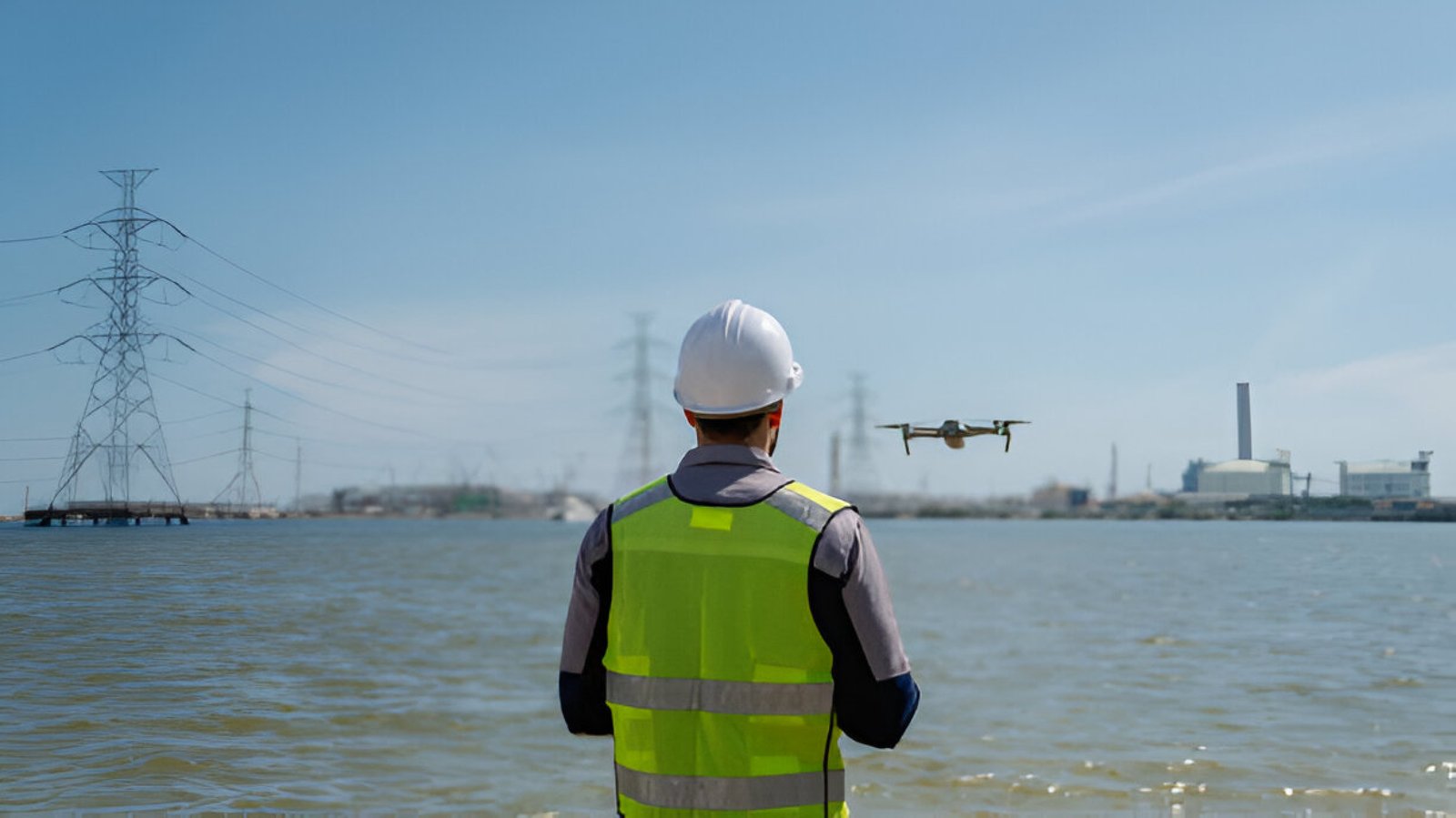
We make sure we can fly our drones at the planned place by first checking the local rules. Make sure the weather is suitable as well, meaning there shouldn’t be any rain, fog, snowfall, or severe winds. Check that our drone’s battery and the batteries of any connected devices, like tablets is completely charged. And that there is enough space on the memory card of o drone camera to record the entire project.

Prepare the flight plan

Then our team makes a flight plan for your survey. To do this, we either import a KML file or simply tap and drag the points around the region you wish to survey. We make sure the flying plan takes into consideration both altitude variations and tall objects. The team can change flight parameters like height, flight direction, ground sampling distance (GSD), and image overlap as required by the clients.

Assemble your drone at the field.

We make sure the drone is prepared for safe takeoff by following a few easy procedures to unpack and assemble it. Then we individually verify each parameter by going through the interactive check-list, such as cleaning the distance sensor and confirming that the camera cover is off.

Fly the drone and take the pictures


Once the take-off button is pressed, the drone takes off on its own, shoots pictures, then returns to its starting point. In this step, our operator ensures that the weather remains perfect for the survey flight and that no one approaches the drone during takeoff or landing.

Geotag the photos

To geotag the photos, we import them into a software/tool like WingtraHub after one or more flights. Geographic position (X, Y, Z) data is assigned to the photographs using geotagging and can be stored in the images’ meta-data or in a separate CSV file.

Data outputs from drone survey

The images captured by our Drone Survey are stored on a memory card like SD card. The photos can then be imported into a geotagging program or are already geotagged depending on the drone’s technology. We will have some hundred to thousand photographs, depending on how big the survey size is. And each image will have geographic coordinates (X, Y, Z).

Select the fields to be shown. Others will be hidden. Drag and drop to rearrange the order.
  • Image
  • SKU
  • Rating
  • Price
  • Stock
  • Availability
  • Add to cart
  • Description
  • Content
  • Weight
  • Dimensions
  • Additional information
Click outside to hide the comparison bar
Compare

Gis Solutions

+(91) 0120-477-4898

info@skylanit.com

1st Floor D-77, Sector 63 ,
Noida, 201301

Main Offices

Monday-Saturday: 9am-6pm

© SkylanIT 2024, All Rights Reserved.