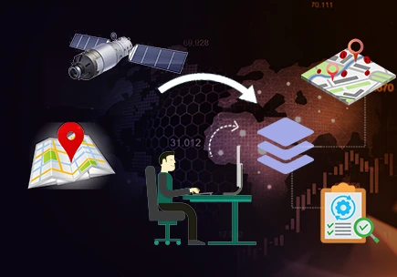
In GIS, imagery means visual data captured by sensors mounted on satellites, drones, or aircraft that depict the Earth’s surface. This data includes photographs, infrared images, and other forms of visual representation that help capture geographic features and regions. Skylan imagery services are used to analyse land cover, area under vegetation, urban development, and various environmental conditions, offering a detailed view of geographical phenomena. It serves as an important input for map creation, analysis, and monitoring in a wide range of applications & industries.
Solutions for GIS Imagery
SkylanIT processes and improves GIS imagery by help of several advanced technologies that improve its accuracy and usability.
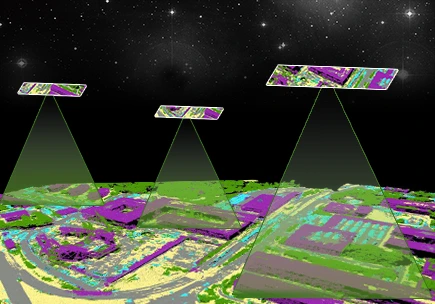
Remote Sensing
Skylan remote sensing services includes these following things
- Satellite Imagery: in this we capture images from space to monitor large-scale geographic features like forests, oceans, or urban growth.
- Data Analysis: Then we process and interpret remote sensing data to detect changes over time, such as deforestation or climate change effects.
- Multispectral Imaging: In this use images captured in different wavelengths (e.g., infrared) to analyze various aspects of the Earth’s surface
Photogrammetry
Skylan provides photogrammetry services for various sectors. In it we cover:
- Aerial Photography: Use images taken from aircraft or drones to measure distances, heights, and areas on the Earth’s surface.
- 3D Mapping: Creates three-dimensional models of landscapes by analyzing multiple overlapping images.
- Accurate Measurements: Extract precise geographic information from images for use in construction, urban planning, or environmental monitoring.
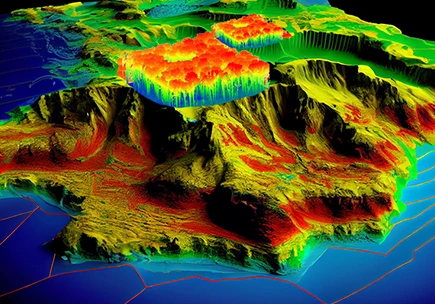
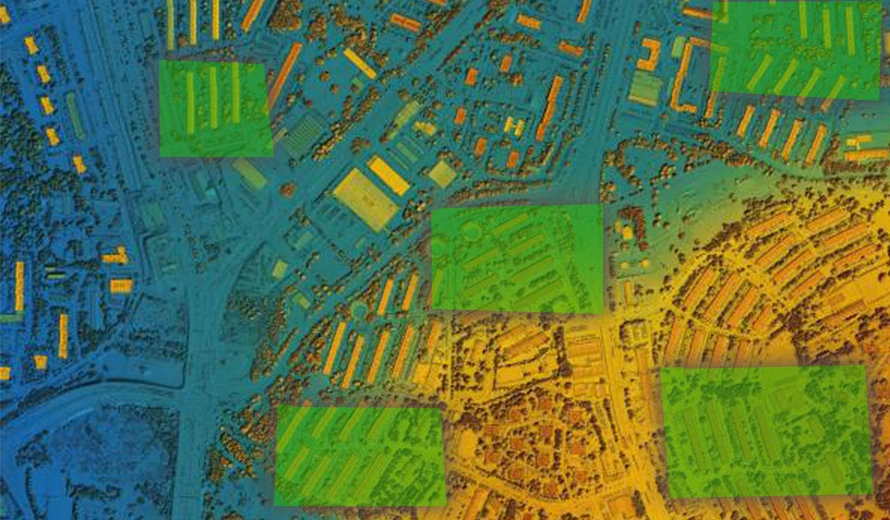
LiDAR
SkylanIT processes LiDAR dataset and delivers outputs in CAD & GIS format.
- Elevation Mapping: It uses laser technology to measure the height of objects and the Earth’s surface, provides detailed elevation data.
- High-Resolution Imaging: Generate high-resolution models of terrain, buildings, and vegetation.
- Topographic Analysis: Use LiDAR data for topographic mapping, flood risk assessment, and infrastructure planning.