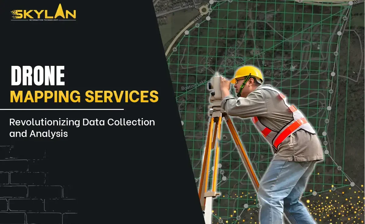
Guide to Drone Mapping Services: Revolutionizing Data Collection and Analysis
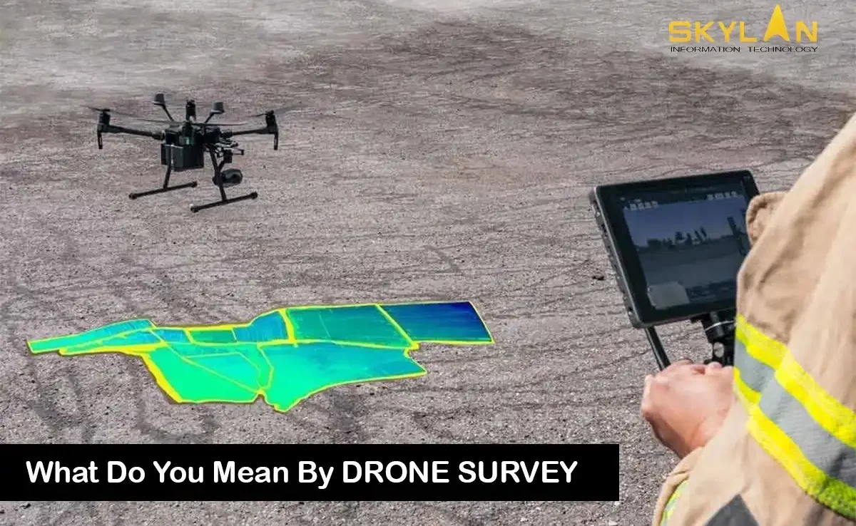
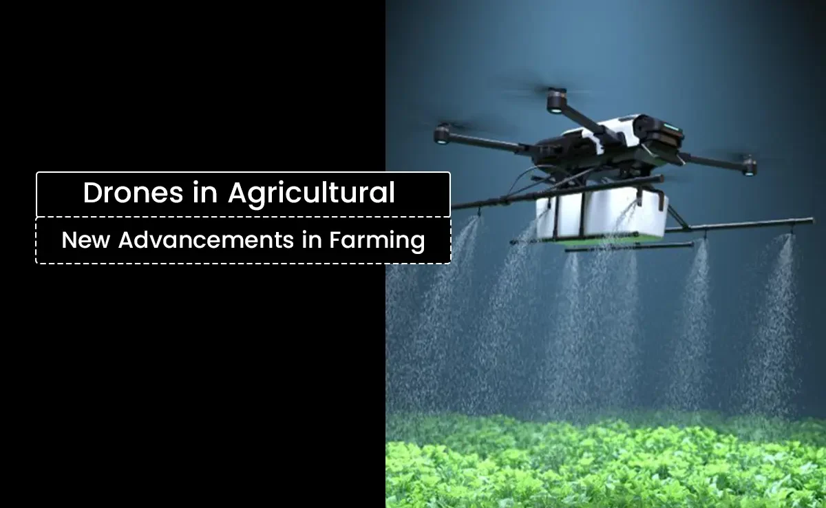
Fulfilling the current pace of technological advancement, the drone mapping services are one of the most critical assets in transforming industries from agriculture to construction. With unmanned aerial vehicles (UAVs), drones can be used to get high-resolution imagery and acquire data more quickly and efficiently, thus helping businesses with that degree of decision-making accuracy. In this guide, we discuss what drone mapping services are about, their applications, and their benefits, along with the ways drone surveying companies are improving their operations. Understanding Drone Mapping Services What Are Drone Mapping Services? Drone mapping services use UAVs equipped with high-precision cameras and sensors adapted to fit them to produce accurate maps and 3-D models. These fly over the designated areas, covering them with high-resolution images that offer a comprehensive overall view of the site, including the terrain, infrastructure, and other essential elements. It is very useful in several sectors, including construction, agriculture, forestry, and environmental monitoring. The Process of Drone Mapping Certain vital stages characterize the drone mapping services: 1. Mission planning considers what area will be captured and how best to survey such space before the UAV is ever deployed. 2. Data collection involves flying drones over a target area to collect images, video footage, and other data. Depending on project needs, these UAVs can work either autonomously or under manual control. 3. After the data is collected, the images are processed in specialized software for generating orthomosaic maps and 3D models. 4. The resultant data is then analyzed to generate insights for clients’ benefit so that they may make informed decisions with regard to the presented information. Fields of Application for Drone Mapping Services Construction and Infrastructure The construction industry uses drone mapping services mainly to perform accurate site surveys, tracking of progress, and land assessments. Construction companies can monitor activities on the job site in real-time and generate maps that help in efficient project management. The use of UAV mapping services minimizes human error and increases safety, as there is no need for workers to access hard-to-reach areas physically. Agriculture Drone mapping services are now accepted daily by farmers in the agro industry for enhancing crop management. Multispectral cameras on drones can assess plant health, monitor irrigation systems, and track pest or disease outbreaks. With UAV mapping services, farmers can make informed decisions that increase crop yield without wasting or using many resources. Environmental Monitoring Drone mapping services are essential for environmental monitoring with real-time collection and analysis of ecosystem data. They can also cover vast areas of image acquisition for wildlife population monitoring and changing land-use patterns. Such information is of paramount importance for conservation and environmental assessment. Real Estate In real estate, drone mapping services provide breathtaking aerial data that bolsters property listings. UAV-based mapping and 3D modeling help real estate agents lure potential buyers by providing distinct perspectives unavailable to traditional photography. With cutting-edge technologies, realtors can distinguish their listings in a highly competitive market. Mining and Land Use Exploration, site planning, and day-to-day operational surveillance make the use of drone mapping services by mining companies indispensable. Topographic maps produced by drones are accurate enough for the necessary data on mineral deposits and land use. Their efficiency and safety in the more hazardous environments make it all the more possible for the reduction of operational risk. Benefits of Drone Mapping Services Cost Effectivity The first-listed benefit of drone mapping services is their cost effectiveness. Drones need fewer resources and personnel in comparison to the conventional mapping methods. Hence it becomes an economical option for the businesses. Besides, UAVs are able to cover great expanses of land in a fraction of the time as compared to ground mapping methods. Higher Accuracy Drones with high-resolution cameras and advanced sensors yield extremely accurate mapping results. They are capable of collecting data at different angles and heights, and thus avoid many human errors, ensuring better quality data and more valuable insights into the businesses. Time Savings The work is done well in drone mapping services from the aspect of promptness. A site survey which can take days or even weeks by normal means can be complete in a matter of hours with drones. Swift data acquisition allows companies speedily to make decisions and stick to the project timeline. Safety First Safety should be preserved more with drone mapping services since it reduces personnel operating in unsafe zones. A drone can operate even some of the most difficult terrains and provide data without putting personnel in danger. Choosing the Right Drone Surveying Company While considering different factors when opting for a drone surveying company for drone mapping services: Experience and Expertise It’s important to select an industry-experienced company with an operational history providing drone mapping services. Search for testimonials, case studies, and reviews to assess the capabilities of potential partners. Equipment and Technology The impact of technology on data collection dimensions has included the extent to which it cushions and protects data collected. Choose an enterprise that has the latest UAVs, cameras, and processing software to ensure that you receive optimal outputs when utilizing drone surveying services. Regulatory Compliance Lastly, it is essential to check if the drone surveying firm complies with local regulations and possesses the necessary licenses for commercial drone operations. This aspect is critical for safety and legality. Service Range Different companies provide varying services in this respect. So, know what you specifically need, be it aerial imagery, 3D modeling, or data analysis, and choose the right company. Bringing Together Drone Mapping with GIS- GIS Technology Geographic Information Systems (GIS) are very much involved in maximizing profit from the potential of drone mapping services. UAV data coupled with GIS creates organizations that deliver a detailed geospatial analysis. This combination enables insight by overlaying many various data types, geotagging assets, and managing geographic data. Applications of GIS with Drone Mapping Integrating drone mapping services with GIS permits diverse applications such as those linked to urban planning, environmental assessments, and disaster relief operations. Such one would empower interested parties