How Drones Are Used in Agriculture
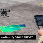
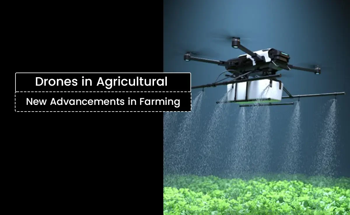
Agriculture today grapples with various ultra modern issues, starting from scarcity of workers and soaring prices of necessities to the precision needed in the allocation of resources and the preservation of the environment. While droning technology is only a small segment of the picture, the advent of drones is set to shift agricultural innovation and practices on its head. This blog will cover the answer to the question How do agriculture drones change farming practices globally?. The answer will touch on drone technology’s many use cases, ranging from drone farming benefits to its increasing adoption in India and what lies ahead for this innovative technology. Evolution of Drone Technology in Agriculture The last few decades have seen a radical shift in the application of drone technology from military and leisure uses to a spotlight position in agricultural activities. Also known as unmanned aerial vehicles (UAVs), drones have now become a key instrument in the agriculture sector for observing the condition of the crops, applying pesticides, and even surveying the fields with great precision. The increasing demand for undiscerning agriculture – a method of farming that utilizes real-time information to achieve maximum production while reducing waste – works in tandem with the need for newer technologies in agriculture. Modern drones can be equipped with high-resolution multispectral imaging sensors thanks to advancements in drone technology and the miniaturization of sensor technology. Farmers are empowered by the ability to make informed decisions as even the most minute variations in plant health, which are not visible to the naked eye, can be captured. With the continuous advancements in drone technology within the agricultural field, the term “drone farming” has become a strikingly popular counterpart to sustainable agriculture. Associated Uses of Drones in Agricultural Activities Farmland Surveillance and Mapping An important use of agricultural drones is analyzing and mapping different fields faster than what humans can achieve. Because drones come with high definition cameras and multi-spectral sensors, they are able to take aerial pictures that are later turned into orthomosaic maps and NDVI (Normalized Difference Vegetation Index) images. These maps assist farmers in analyzing the health of the crops, finding pests, and determining how much water or nutrients the crops need. The accuracy of these detailed maps enables variable rate applications where inputs such as water, fertilizers, or pesticides are applied in the most efficient, targeted areas only, thus ensuring less waste and more productivity. For example, during the precision agriculture phase, drone images can be processed with GPS and GIS technology to extract the three-dimensional topographical layout of the fields. These diagrams can show farmers as they reveal fine details of the field’s topography such as elevation changes and drainage features, which aid in irrigation control. Precise Spraying Technique With Crop Protection Agricultural drones are also changing how farmers put fertilizers, pesticides, and herbicides onto crops. Aerial or manual spraying of crops is labor intensive and less accurate, often leading to chemical overuse. Conversely, drones are programmed to follow specific routes, and they can spray specified amounts of chemicals onto only those zones that require treatment. This technique is known as precision spraying, and it lessens the waste of chemicals and lessens the effect on the environment. Novel startups have provided agricultural drones in India that spray pesticides with precision which in turn lessens manual work and chemical application. Moreover, the drones ensure treatment of crop diseases early on without letting infestations spread which helps treat diseases at the onset itself. Water Management and Irrigation: In the current agricultural world, effective use of water is crucial especially in areas with limited water supply. Drones make use of thermal and multispectral cameras to highlight areas where water stress is visible to modify irrigation efforts. This partial irrigation not only saves water but ensures that the crops are optimally nourished with moisture to support healthy growth. Monitoring Veterinary Livestock and Aerial Farm Surveillance Drones: Monitoring Veterinary Livestock and Aerial Farm Surveillance Drones have found new uses in livestock management, including the monitoring of farm fields. Farmers are now able to track herd movement and check the health of their animals and even examine the fences and other remote areas of their properties using drones. Drones allow for the surveying of large portions of land in a very short time. This allows farmers to detect malfunctioning equipment and wandering livestock before they become difficult and expensive problems to manage. Collecting And Analyzing Information Data: Collecting And Analyzing Information Data can be captured in the form of video footage and images. Farmers are using drones to capture data and images that can then be processed with actionable insights. These days, drones capture footage and images that are integrated with modern software that can be utilized for real time processing of aerial data. Machine Learning algorithms can analyze the data for actionable insights. For example, farmers can use this to predict yields by cross referencing current imagery with other historical imagery. Also, this data driven approach surfaces the need for corrections. These forms of approaches enable farmers to manage their resources with pinpoint accuracy unlike a decade ago which is referred to as precision agriculture in a broader term. Benefits of Using Drones in Agriculture The adoption of drones in agriculture offers numerous advantages that are modernizing and optimizing farming practices to make them more efficient and sustainable. Increased Efficiency and Savings Drones in agriculture drastically cut down the time needed for field surveys. Activities that took weeks of work can now be finished in a matter of hours. For instance, rate of coverage in ground surveys is usually only a few acres per hour, while drones can cover hundreds of acres in one flight. Not only does this cost efficiency save on labor expenses, but also water and fertilizer usage. Many farmers across regions have reported a decrease of 30% in input costs due to switching to precision spraying with drones. Enhanced Crop Growth and Health Drones detect pests, diseases, and nutritional shortages in crops based on